Mount Shasta has been on my list for years. I wanted a mountain where a strong day could reach a fourteener, with a clean line to ski back to camp or the car. Mount Shasta fits that plan.
In this guide I share how I went up Avalanche Gulch from Bunny Flat, tagged the top, and skied spring corn back down. If you are researching mount shasta or mt shasta ca trips, this first-person report will help you pick the week, pack your kit, and move with confidence on the mountain.
My hiking and skiing experience on Mount Shasta
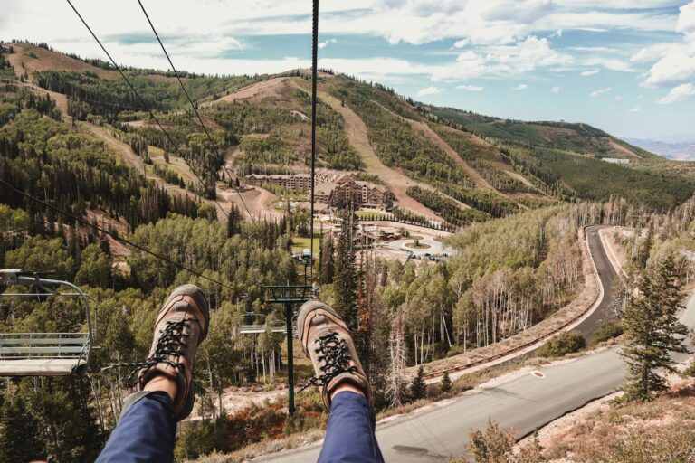
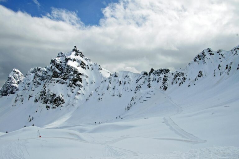
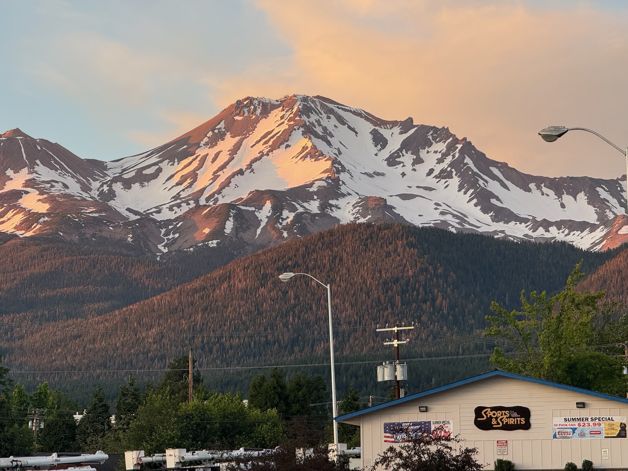
I rolled into Mount Shasta City the evening before and watched alpenglow paint the upper face from town. The next morning I drove Everitt Memorial Highway to Bunny Flat, the classic start at about 6,950 feet. Signs for self-issue permits, pack-out bags, and restrooms sit at the lot. There is no water here.
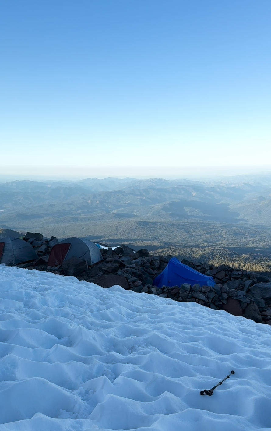
The approach to Horse Camp warmed me up fast. The trail threads red fir forest, climbs past the Sierra Club hut, and breaks out near Helen Lake.
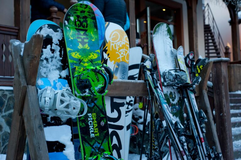
My plan was a single push with skis on my pack for the lower section and on my feet above. The surface had a firm morning crust. Steps set well, and I moved in a steady cadence, poles clicking a rhythm on the frozen grains.
Gears: hiking poles, waterproof hiking boots, pop up tent, down sleeping bag and inflatable sleeping pad.
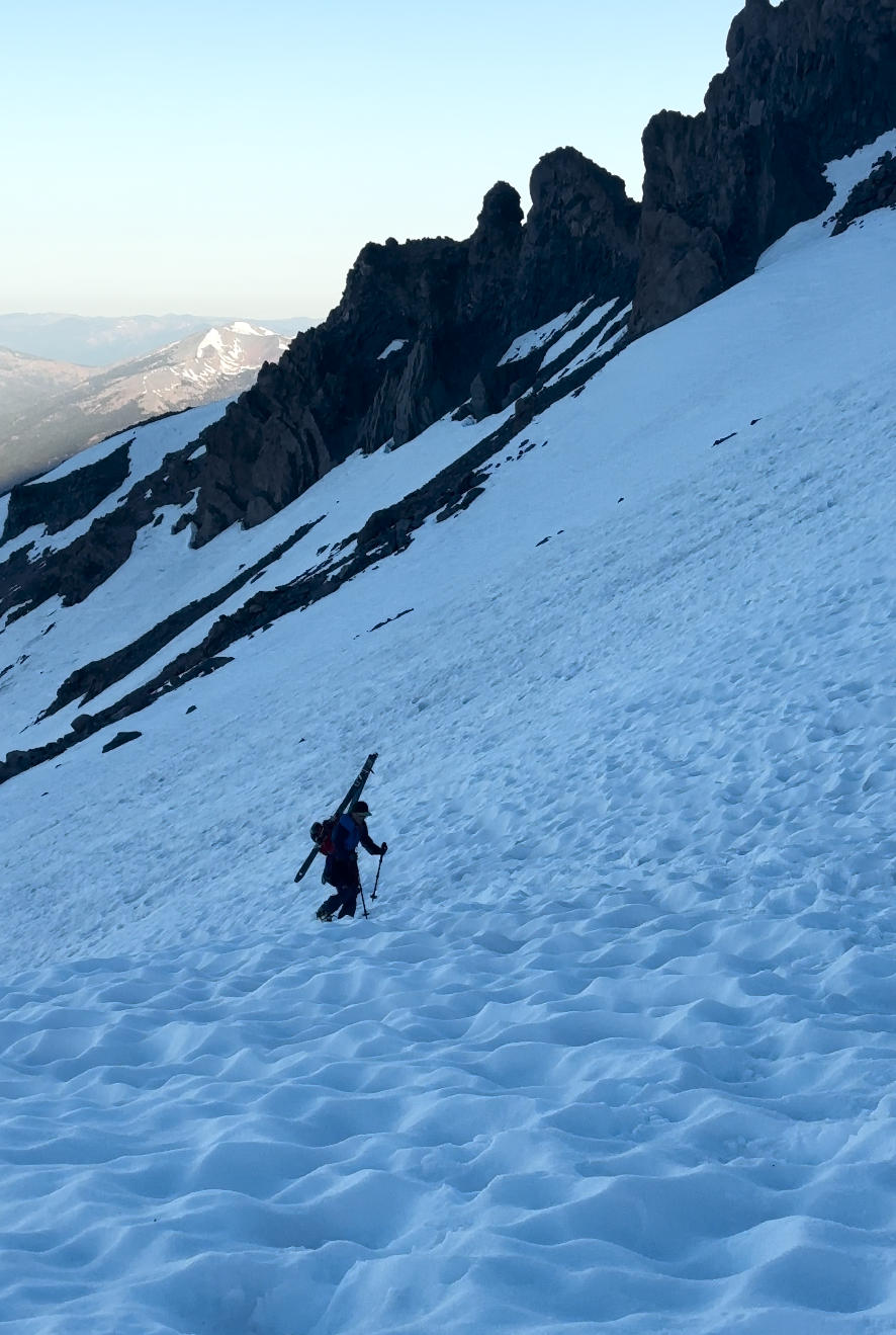
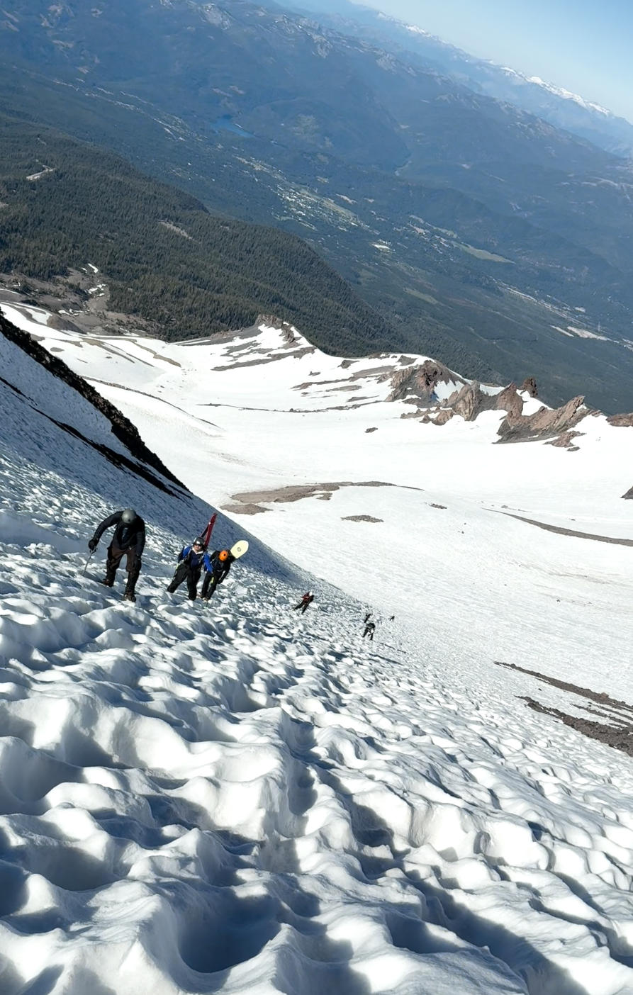
Above Helen Lake the angle sharpened. I switched to crampons and stowed skins. The boot pack trended right of The Heart and left of The Thumb toward the Red Banks. A light breeze kept the surface cool.
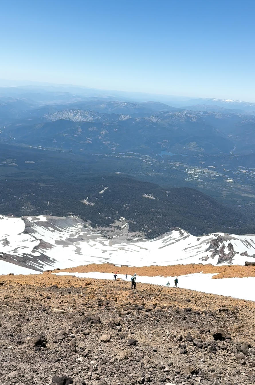
The snow felt edgeable and promised good corn later. I kept pace with a group of two just ahead and timed short breaks at safe islands off the fall line.
At the Red Banks, I picked a mellow gap and topped out into a brief flat. Short Hill lived up to its name, and then Misery Hill began. It is a false summit starting around the low 13,000s, and you still need to cross the summit plateau after it. I took the slope in short, efficient pitches, counting 40 steps and then pausing for a couple of breaths.
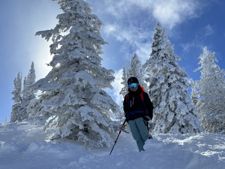
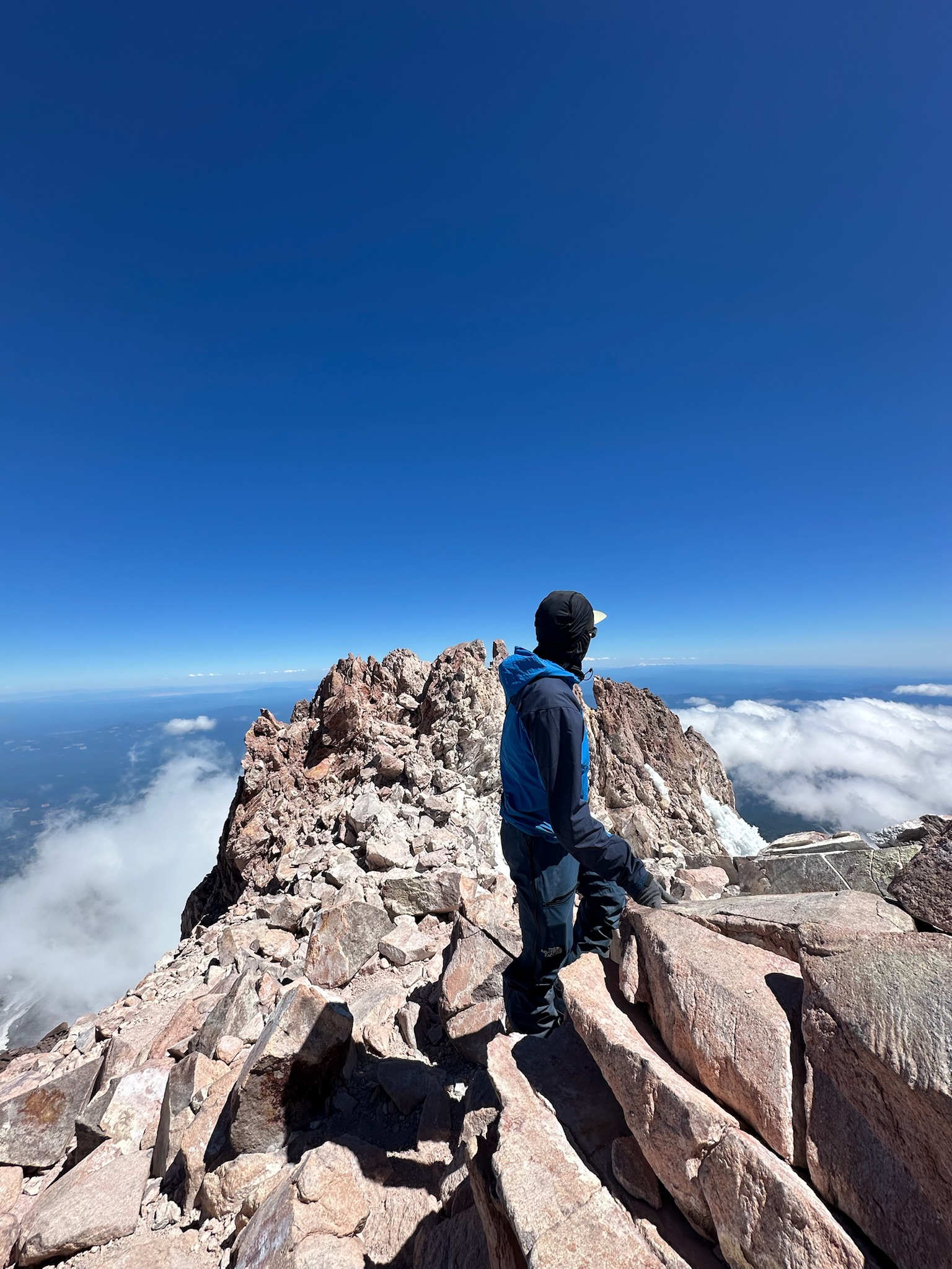
The summit block came with light wind and a blue dome sky. I touched the high point, pulled on a puffy for a quick photo, and soaked in the view across the Cascades. I transitioned to ski mode on the plateau and slid back to the top of Misery Hill.
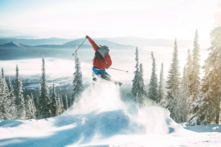
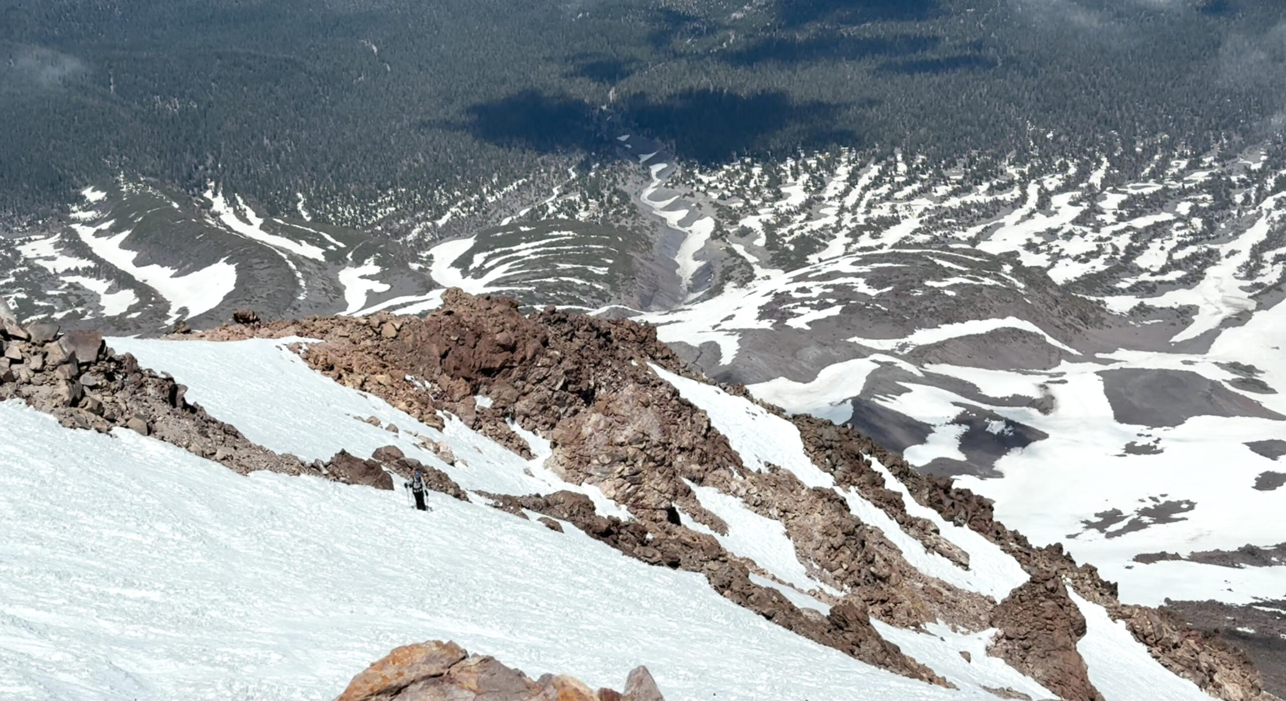
The upper few turns were chalky early, then softened to smooth spring corn. I followed my ascent line, staying well clear of rock bands and the bergschrund that opens near the Konwakiton Glacier later in the season.
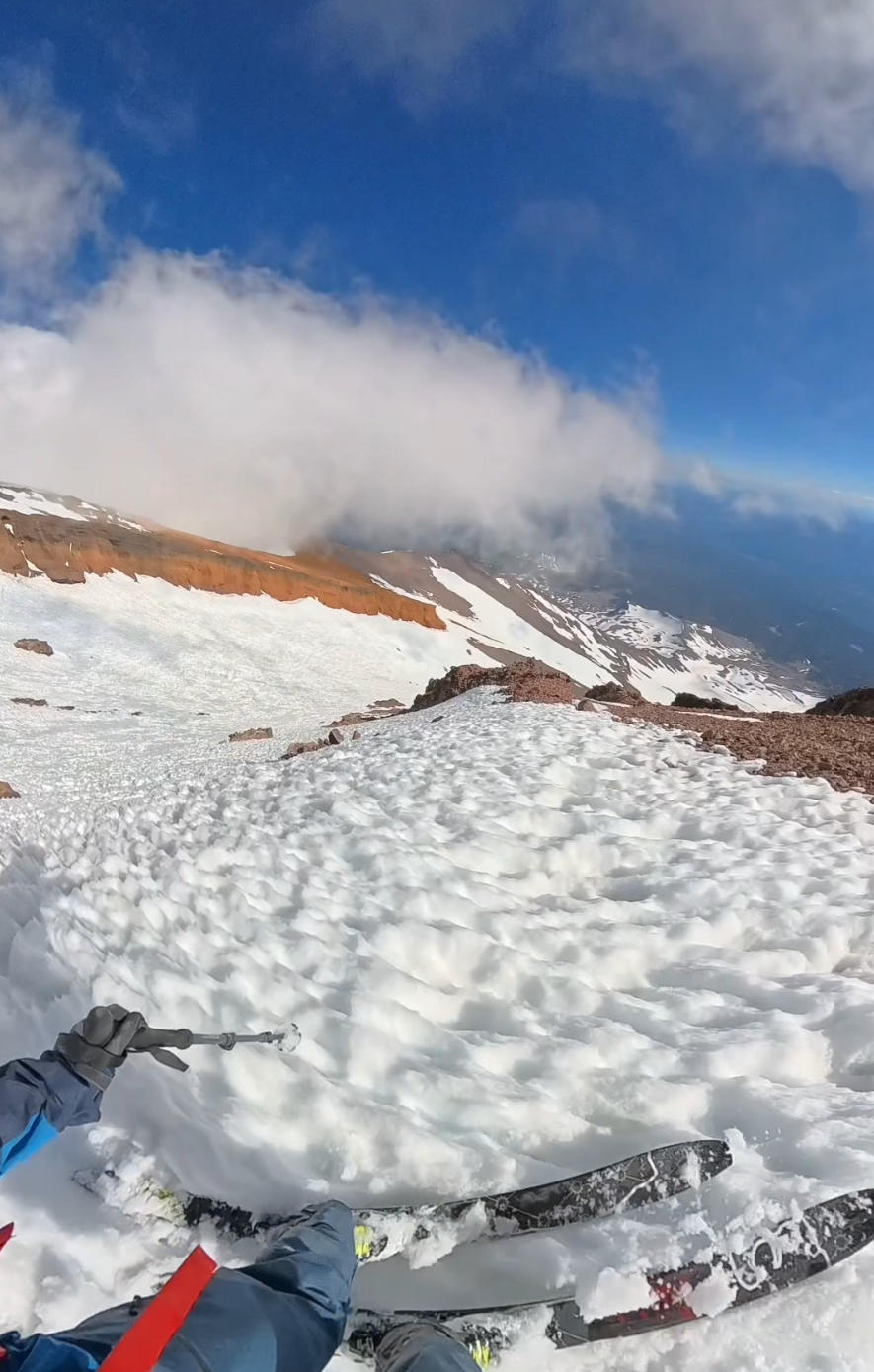
From the top of the Red Banks I linked long arcs back toward Helen Lake, then milked shaded ribbons to conserve smooth snow. By late morning the surface was getting bumpy.
Rockfall pinged in the distance, a reminder to move early and keep eyes up. I switched to shoes near Horse Camp, jogged the last forest miles, and reached Bunny Flat with a grin and tired legs.
Logistics
Getting there and parking: From Mount Shasta City, drive Everitt Memorial Highway about 11 miles to Bunny Flat. The lot serves winter and summer users and can be busy on weekends.
Permits and passes: If you climb above 10,000 feet, you must have a Mount Shasta Summit Pass. The standard pass is 25 USD per person and is valid up to 3 days from purchase.
Water, restrooms, dogs: Restrooms are at Bunny Flat. There is no potable water at the trailhead; the nearest natural sources include the Horse Camp spring and Panther Meadow in season. Dogs are common on lower trails but are not recommended in steep, icy alpine terrain. Verify current rules
Mt Shasta Ski Park: The resort is a separate ski area on lower buttes off Highway 89 with its own lifts and operations. If you want lift-served laps with family or a rest day, it is close to town.
Beyond the hike
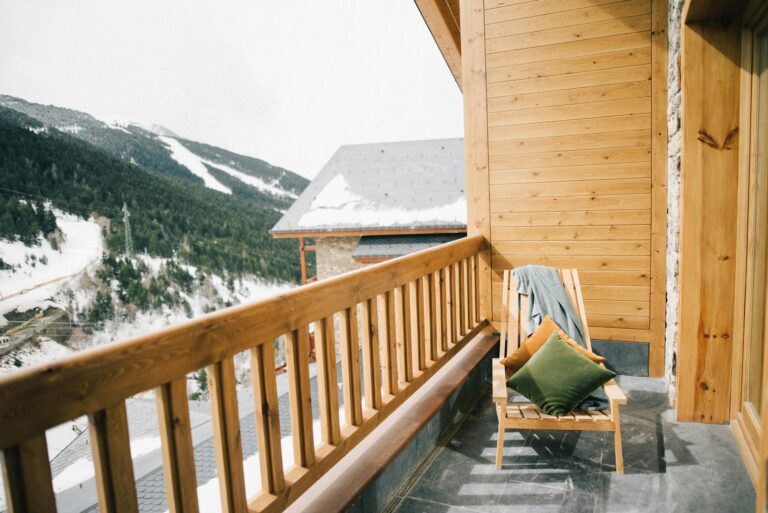
Recovery in town: Grab food in Mount Shasta City or McCloud and watch the evening light on the peak.
Lift-served day: If partners want lifts instead of a big alpine push, the Mt Shasta Ski Park runs winter and some summer operations, including scenic rides and mountain biking. Check hours and directions.
Panther Meadow and the Old Ski Bowl: short hikes with huge views when the road opens in summer.
Clear Creek Route: a quieter east side climb when Avalanche Gulch is crowded.
Brewer Creek Trailhead: access to Hotlum-Wintun lines for experienced parties in good conditions.
FAQ
Is Mount Shasta a volcano and how high is it?
Yes. Mount Shasta is a stratovolcano in the Cascade Range. USFS materials list the elevation as about 14,179 feet.
Do I need a permit to climb Mount Shasta?
Yes. A Summit Pass is required above 10,000 feet, 25 USD per person, valid up to 3 days. Overnight trips also need a wilderness permit.
What is the best time to climb Avalanche Gulch?
Most people target mid May through mid July for snow coverage and more stable weather, with early starts to avoid rockfall and slush.
How long is the climb and how much elevation gain is it?
From Bunny Flat to the summit is roughly 5 to 6 miles one way with more than 7,000 feet of gain. Many strong parties take 8 to 12 hours round trip in season.
What forecast should I use?
Use NOAA point forecasts for Mount Shasta and check the Mount Shasta Avalanche Center for advisories and recent observations.