The John Muir Trail (JMT) stands as the premier hiking destination in California because it provides an unmatched blend of natural splendor and wilderness exploration and adventure.
The John Muir Trail stretches for 211 miles through the Sierra Nevada mountain range to connect Yosemite Valley with Mount Whitney which stands as the highest peak in the contiguous United States.
The trail named after naturalist John Muir represents the ultimate wilderness adventure which draws hikers and outdoor enthusiasts from worldwide to experience its natural beauty.
Tip: Pick your top outdoor gear.
Few footpaths inspire such reverence among hikers as the John Muir Trail (JMT).
Planning Your Journey: Permits, Seasons, and Logistics
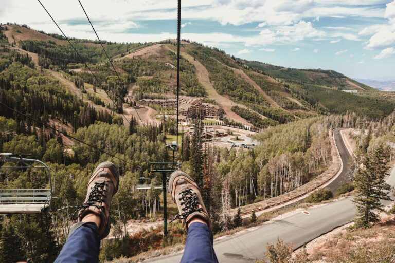
To start the John Muir Trail journey you must plan it well in advance. The trail can be accessed via different trailheads, with the most popular being Happy Isles in Yosemite Valley and Whitney Portal near Lone Pine. The Yosemite Valley starting point of the southbound (SOBO) route faces challenging permit competition among hikers.
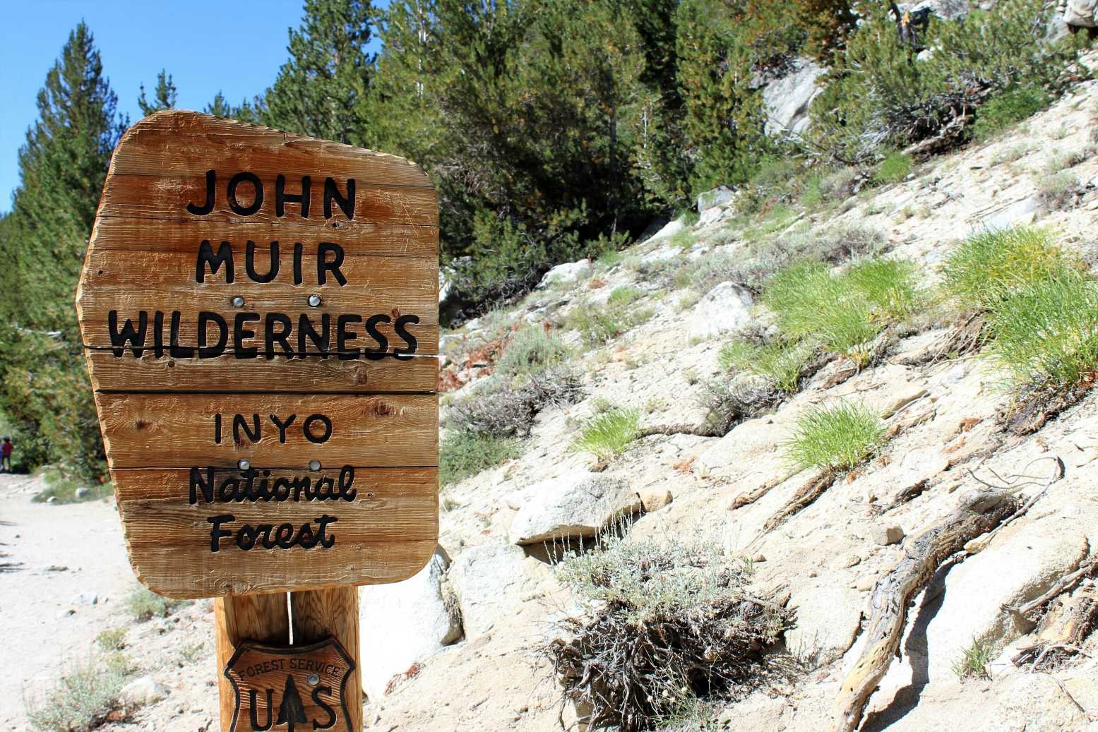
Wilderness permits become available through the Yosemite National Park website in late January each year yet their distribution relies on a lottery system because of excessive demand. Northbound (NOBO) hikers starting at Whitney Portal also require permits, which are obtained through Inyo National Forest. (More about permits)
You can best experience the John Muir Trail between mid-July and September.
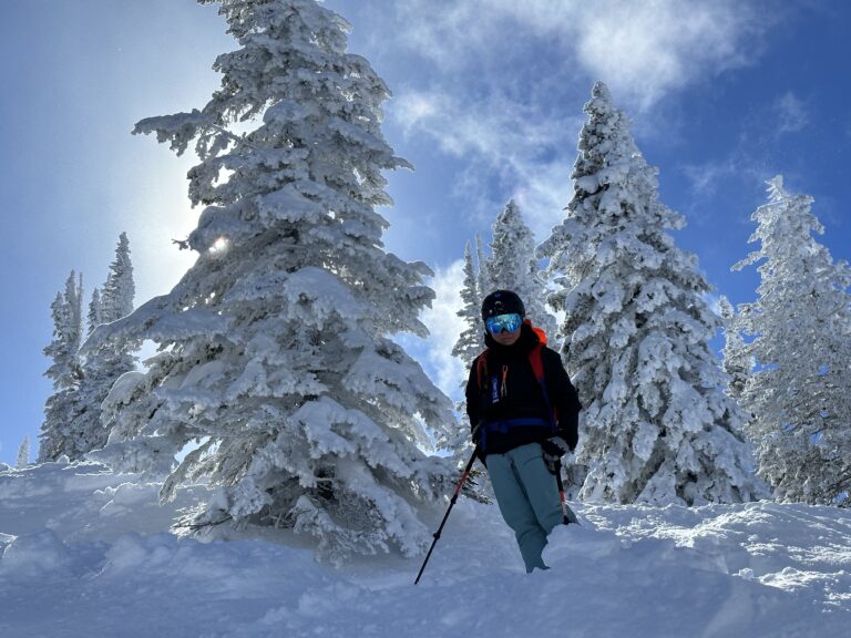
The initial part of the season brings dangerous snow conditions to high passes yet summer brings better weather and fewer mosquitoes while the risk of fires and storms persists.
The Sierra Nevada weather remains unpredictable throughout the year since snowstorms and hail together with freezing temperatures can appear during any month including August. Check reliable weather forecasts for safe trail conditions.
The majority of hikers prefer to hike southbound from Yosemite Valley to Whitney Portal but the trail exists for both south to north and north to south directions.
The trail has official entry and exit points that are easily detectable with major access locations at Happy Isles Yosemite and Whitney Portal Lone Pine.
The route has restricted resupply points so hikers need to make detailed arrangements. Hikers commonly use Tuolumne Meadows, Red’s Meadow, Vermilion Valley Resort (VVR), Muir Trail Ranch and Bishop town as their resupply locations. The service level at each location ranges from simple package retrieval to full amenities including food and shower facilities.
Segment Highlights and Difficulty Levels
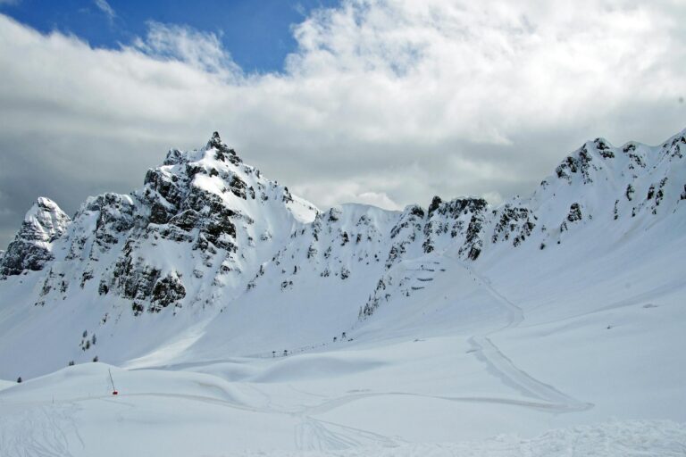
The John Muir Trail requires both respect and preparation because it transforms into different terrains throughout its path.
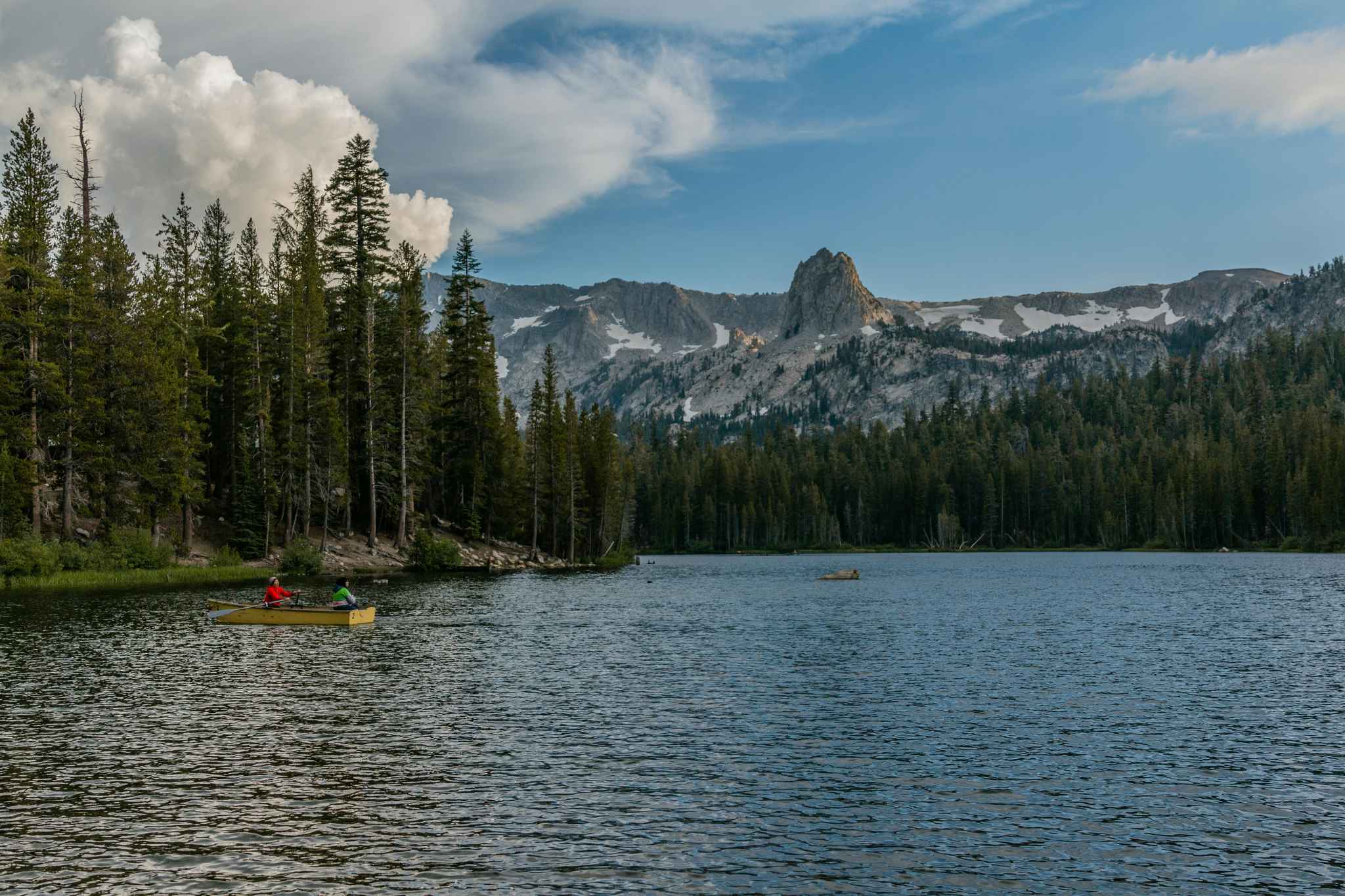
The first segment of Yosemite Valley to Tuolumne Meadows (about 22 miles) is famous for its waterfalls and iconic granite domes. The initial stretch presents difficult terrain because of its steep elevation gain while maintaining high trail traffic.
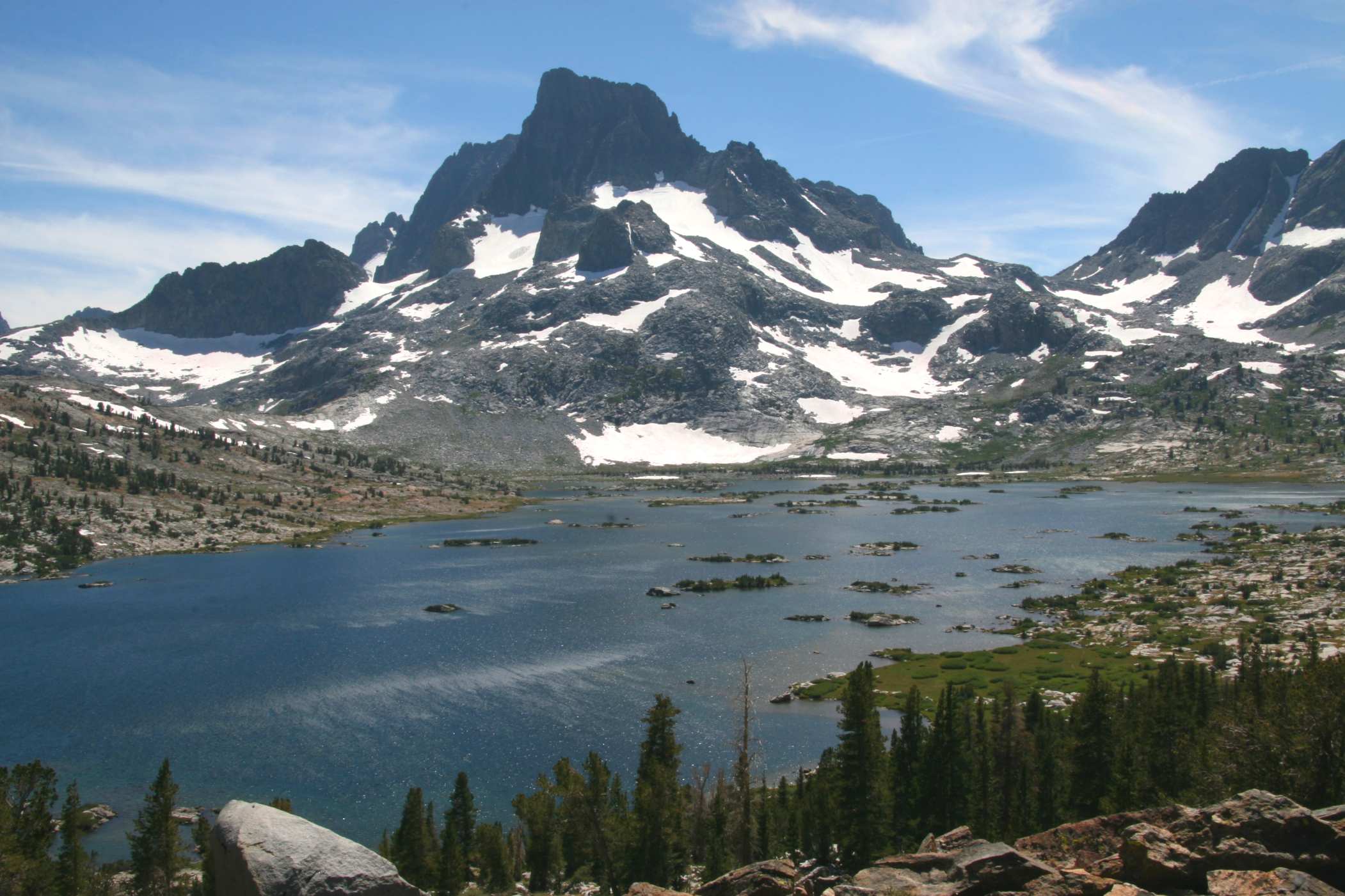
The section after Tuolumne Meadows leads hikers through Lyell Canyon and Donohue Pass (11,056 feet) before entering the Ansel Adams Wilderness where they experience the open views and famous Thousand Island Lake. This region remains extremely difficult to traverse in the initial stages of summer because of snow accumulation.
The section between Red’s Meadow and Muir Trail Ranch extends 60 miles through traditional Sierra environments which include forested valleys and mountain lakes as well as steep mountain passes.
The notable points along this section include Bear Ridge and Marie Lake and Selden Pass. The terrain in this segment presents a moderate level of difficulty because it involves climbing elevations while offering private moments with wildlife throughout the remote areas.
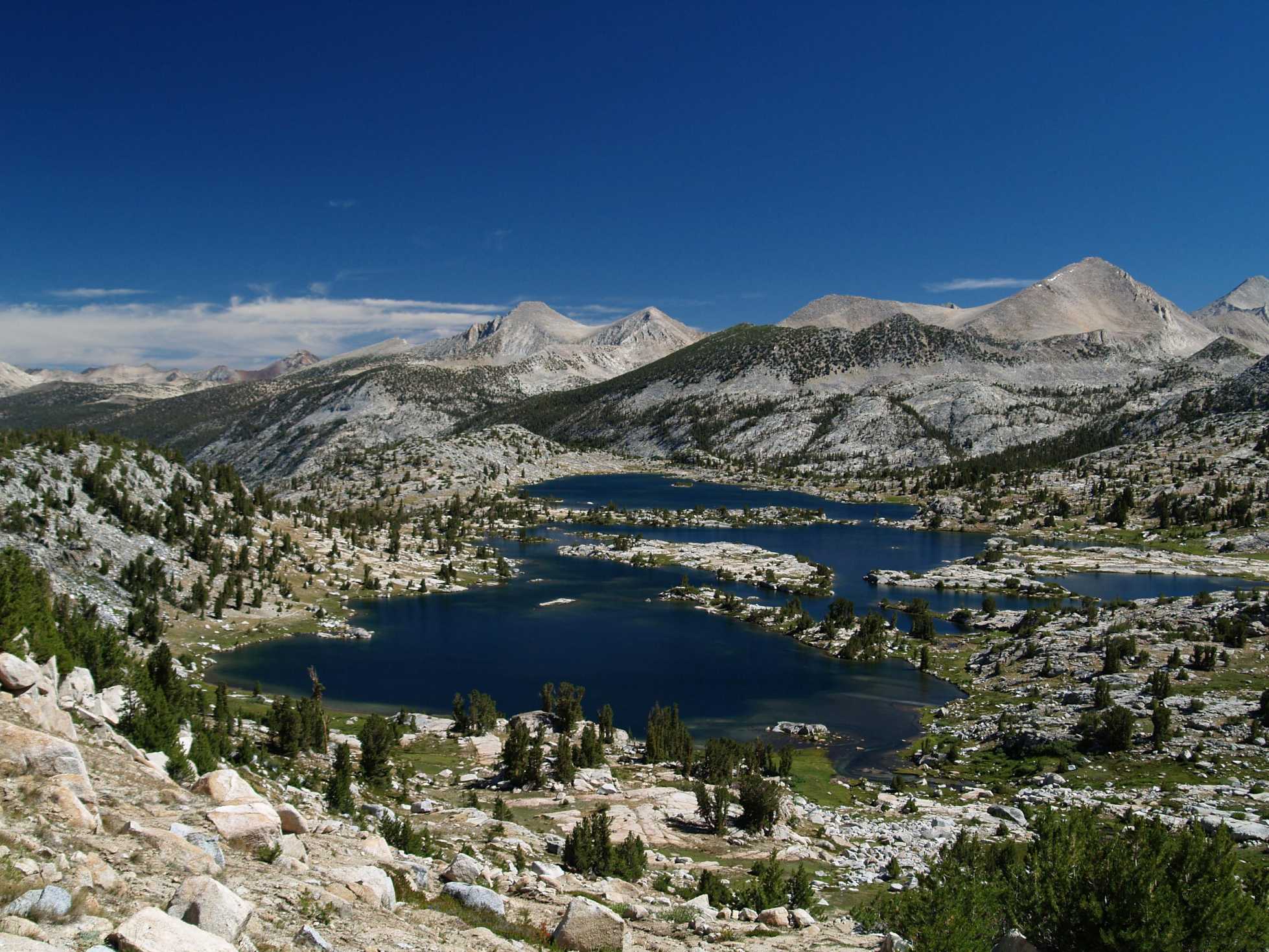
The path from Muir Trail Ranch to LeConte Canyon takes hikers over the historic Muir Hut at Muir Pass. The highest point on the trail becomes accessible when hikers pass through granite basins and snowfields even during summer months.
The route from LeConte Canyon to Whitney Portal contains the steep Golden Staircase and spectacular Palisade Lakes along with multiple demanding mountain passes including Mather, Pinchot, Glen and Forester.
Every ascent above 12,000 feet pushes hikers to their limits while requiring both physical strength and controlled hiking speed.
The summit ascent from Guitar Lake represents both the highest elevation and most challenging section of the JMT. The traditional practice of early morning summit ascent to witness sunrise from Mount Whitney offers breathtaking views that extend across hundreds of miles.
The steep rocky terrain of Whitney Portal serves as the demanding conclusion to this journey which few other hikes can replicate.
Avoiding the Rookie Mistakes
Under-estimating early-season snow. A June permit sounds romantic until you’re post-holing waist-deep on the “ice-cut” below Nevada Fall—which Yosemite often closes entirely until midsummer.
Over-stuffing the first resupply. Tuolumne’s grill sells cheeseburgers, and the store has ramen. Ship less; savor the grill.
Ignoring altitude warning signs. Forester Pass sits a mile higher than Denver. If a headache lingers, camp lower.
Misjudging Sierra storms. Granite amplifies lightning; never linger on exposed ridgelines after 1 p.m. in July.
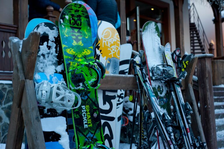
Gear That Earns Its Keep
-
A 20 °F down quilt handles most nights. Early June hikers add a 10 °F sleeping bag.
-
Lightweight micro-spikes make short work of morning ice on Glen Pass.
-
A 2-liter bladder plus a smart-water bottle covers long dry stretches between Palisade Lakes and South Fork Kings River.
-
Satellite messenger (InReach Mini or Zoleo) bridges zero-bar zones; SPOT beacons still work, but two-way texting eases family worries.
The Legacy of the John Muir Trail
Today, the JMT remains a bucket-list trek for adventurers around the world. Its remote beauty, demanding terrain, and strict permit system keep it wild and relatively unspoiled. More than a route, the John Muir Trail stands as a living tribute to America’s wild places, inspiring a new generation of hikers to find their place in the natural world.