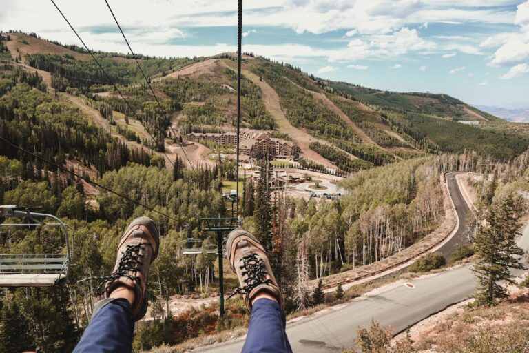
Man, Big Pine Lakes in the wild, quiet Eastern Sierra of California totally blew me away when I first stumbled upon pics of those stunning turquoise waters crashing against snow-capped peaks! The second I laid eyes on those shots, I was hooked—I just had to check it out in person with my outdoor gear in tow!
Big Pine Lakes lies high above the small Owens Valley town of Big Pine California, about 15 minutes from U.S. 395. From town, a narrow paved road winds seven miles up into the mountains, climbing past Glacier Lodge and ending at the North Fork Big Pine Creek trailhead.
At around 7,600 feet, I already feel the air start to thin. It is wise not to rush, many hikers pause at the picnic area near the trailhead to organize their gear and let their bodies adjust to the elevation. (Big Pine Creek are part of Inyo National Forest)
We arrived in Big Pine Ca during early morning hours to purchase supplies at the general store before beginning our ascent to the trailhead. Hikers crowded the parking area as they exchanged hiking tips or inspected their backpacks.
My stomach performed butterflies while I put on my boots and placed my backpack on my shoulders. The local ranger spent time with me to explain that day hikers can start their trail at any time yet overnight campers need printed wilderness permits which determine the entire experience.
We finally started our journey after reading the North Fork Trail sign at the trailhead while our hearts pounded from a combination of excitement and apprehension. Our Sierra Nevada adventure had officially started.
Big Pine Lakes Trail, Ca: Beauty and Challenge Combined
- Length: 14.7 mi
- Elevation Gain: 3,841 ft
- Estimated Time: 8h 15m
- out-and-back trail
This is not an easy hike. It is a moderate-to-difficult-rated trail that is about 11 to 12 miles round trip to Third Lake and will add nearly 3,000 feet of climbing to your legs. But believe me, it is worth every single step on that trail.
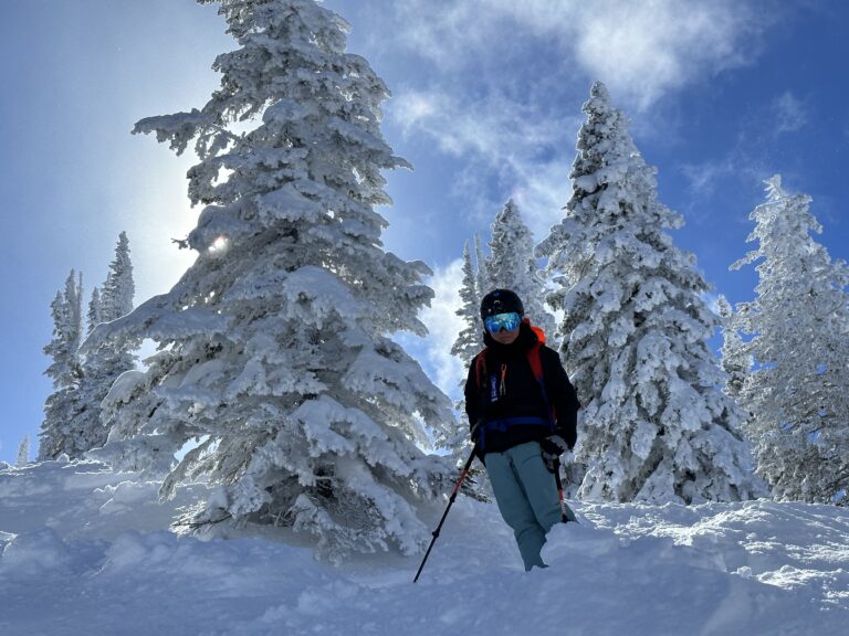
Preparation is everything. At over 8,000 feet altitude, you feel the thinner air. The trail quickly becomes steep and demands steady pacing. We paused often to drink from our water bottles, refilled from the North Fork Big Pine Creek, and snacked on fruit and nuts.
Do not underestimate the effects of altitude, your lungs will thank you if you pace yourself and drink plenty of water!
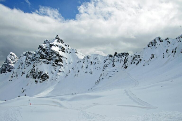
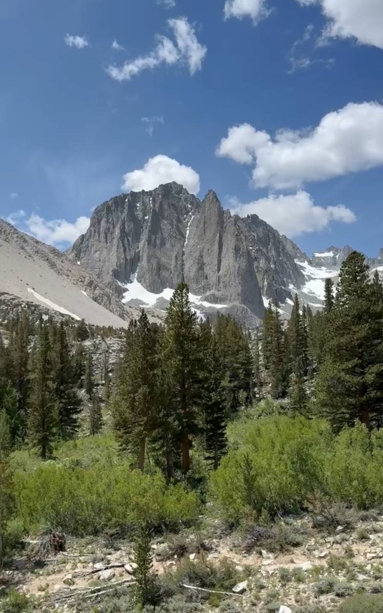
At about two-and-a-half hours, the scenery changed abruptly. The Sierra peaks loomed up ruggedly in front of us, and our first glimpses of what lay ahead.
Among these peaks was Temple Crag, simply magnificent. its angular pinnacles reaching high into the sky and taking my breath away.
It was right then that it hit home for me: Big Pine Lakes is too beautiful for pictures.
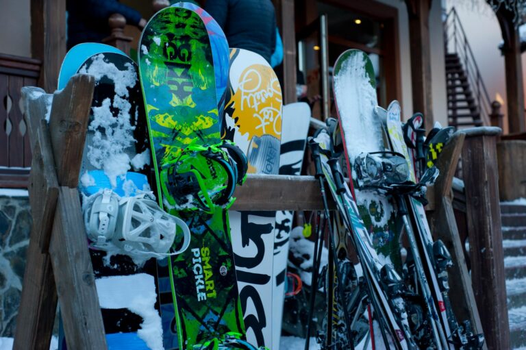
By the way, recommend me a super durable and ultralight hiking poles that provides awesome support for my body on some pretty tricky and dangerous mountain trails.

Reaching the Lakes
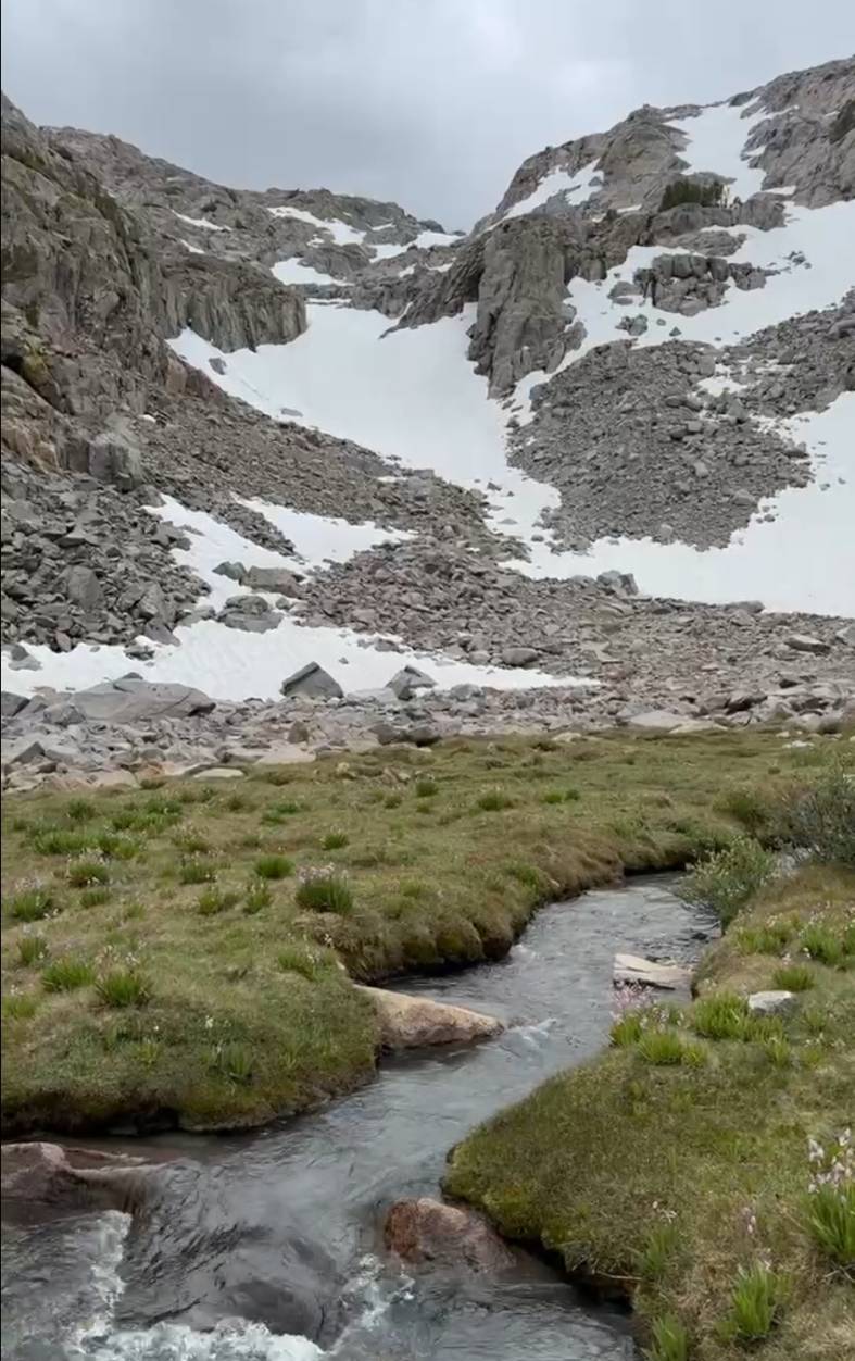
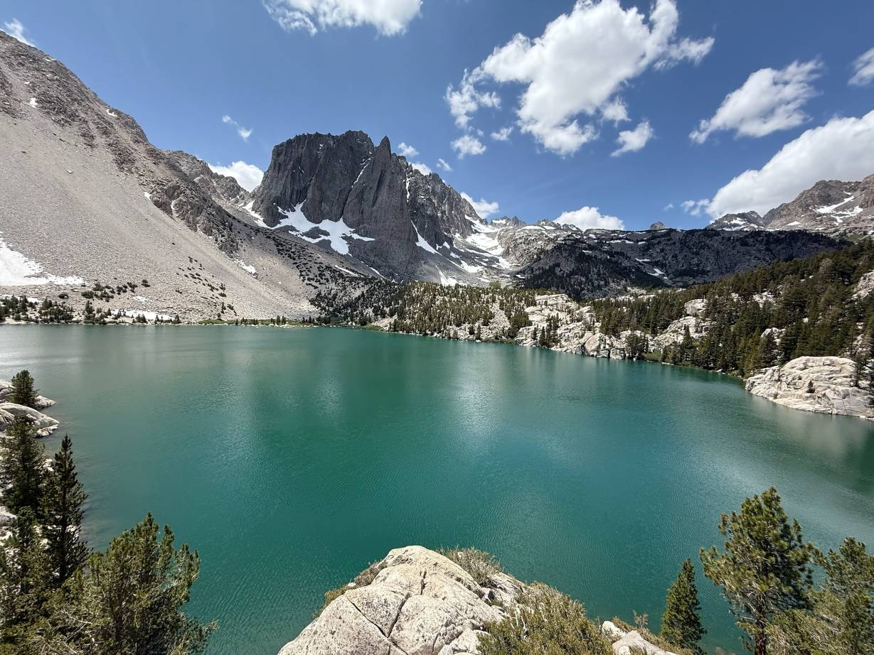
By now we were almost four hours into our hike and we were at First Lake. At that sight, the first glimpse of this pale turquoise jewel nestled beneath jagged black peaks, all my aching muscles were equalized.
This body of water acquires its tone from melting snow, which has left behind a greenish-blue colour unique among lakes in its beauty. It is nothing short of a picture postcard.
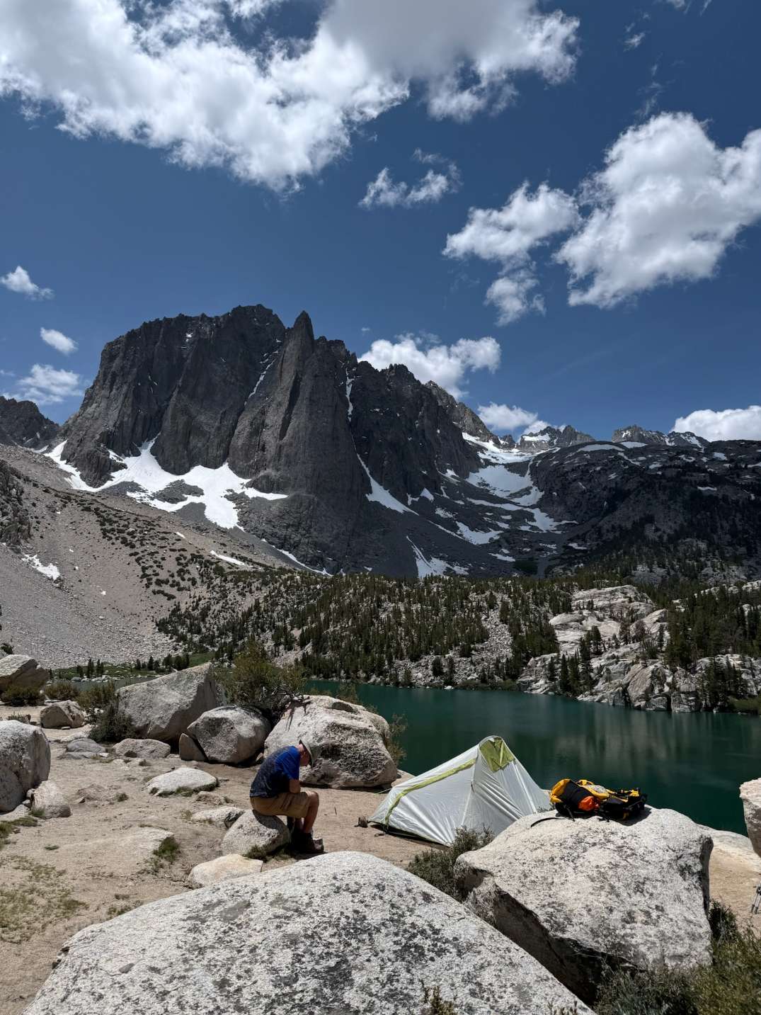
Next we came to Second Lake and then Third Lake. Each of these was more beautiful to us than the one before. Third Lake soon became our favorite place of all, secluded enough to offer peace and quiet, but not so isolated that we would be uncomfortable with tents.
Camping overnight at Big Pine Lakes is the best way to fully appreciate its beauty, we feel. We found a fantastic campsite at Third Lake, set nearby the lake. It was pretty easy to make camp. However, there were a couple of things that stood out:
- Bear Canisters Are Required: Do not try to skip this one. Bears frequent the area often, and proper food storage is essential. We saw bear paw prints not far from our site, a sobering reminder to keep our own supplies safe.
- Layer Up: Temperatures plummet at night, even in the middle of summer. I was grateful for my thermal sleeping bag, insulated pad to sleep on and extra layers. Outside this was the warmest place in camp.
Nothing is quite as satisfying as a hot meal eaten by the lake at sunset. Looking out over the day events, both hardships and rewards, sitting in moonlight you could see stars rise and flood the sky above. It made every ounce of exertion worthwhile.
Beyond the Lakes
Big Pine Lakes offers more than just breathtaking scenery. If you have extra time, consider exploring these options:
Palasade Glacier Trail: If you are feeling ambitious, trek a bit further to view California’s southernmost glacier up close. The sight of ancient ice nestled within rugged peaks is humbling.
- Temple Crag Climbing: If you have alpine gear and the skills, the classic Venusian Blind (5.7) route delivers 1,500 feet of stellar Sierra granite.
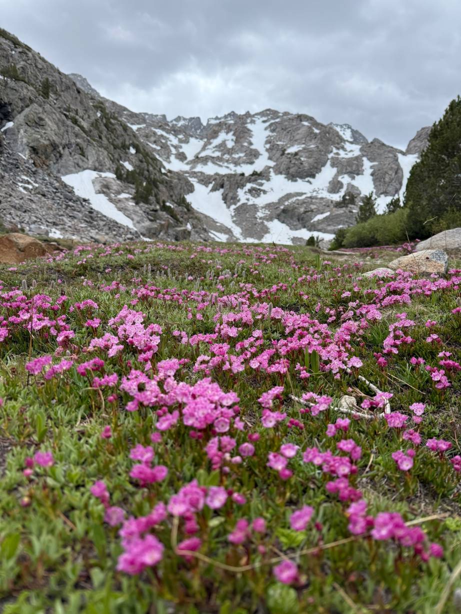
Wildlife Viewing: The area teems with wildlife. We spotted deer grazing at dusk and marmots lounging on sunny rocks. Always keep a respectful distance and practice Leave No Trace principles.
Photography Opportunities: Sunrise and sunset here are spectacular, especially from vantage points above Second and Third Lakes.
FAQs About Hiking and Camping at Big Pine Lakes
How difficult is the hike to Big Pine Lakes?
The hike is moderate to challenging, with steep sections and significant elevation gain. Good physical fitness and preparation are highly recommended.
Do I need a permit to camp at Big Pine Lakes?
Yes, an overnight wilderness permit is required. (Check it here)
What's the best time to visit Big Pine Lakes?
Late June through early October provides ideal hiking conditions, with warmer days and manageable snow levels.
Can I swim in Big Pine Lakes?
Swimming is possible but extremely cold. The glacial water stays chilly year-round.
Are campfires allowed at Big Pine Lakes?
Campfires are strictly prohibited above 10,000 feet to protect sensitive alpine ecosystems. Plan to use portable camp stoves instead.
Can I fishing in Big Pine Lakes?
Yes! You can fishing there.
Weather Checks
Mountain weather changes swiftly. Check weather before you go.