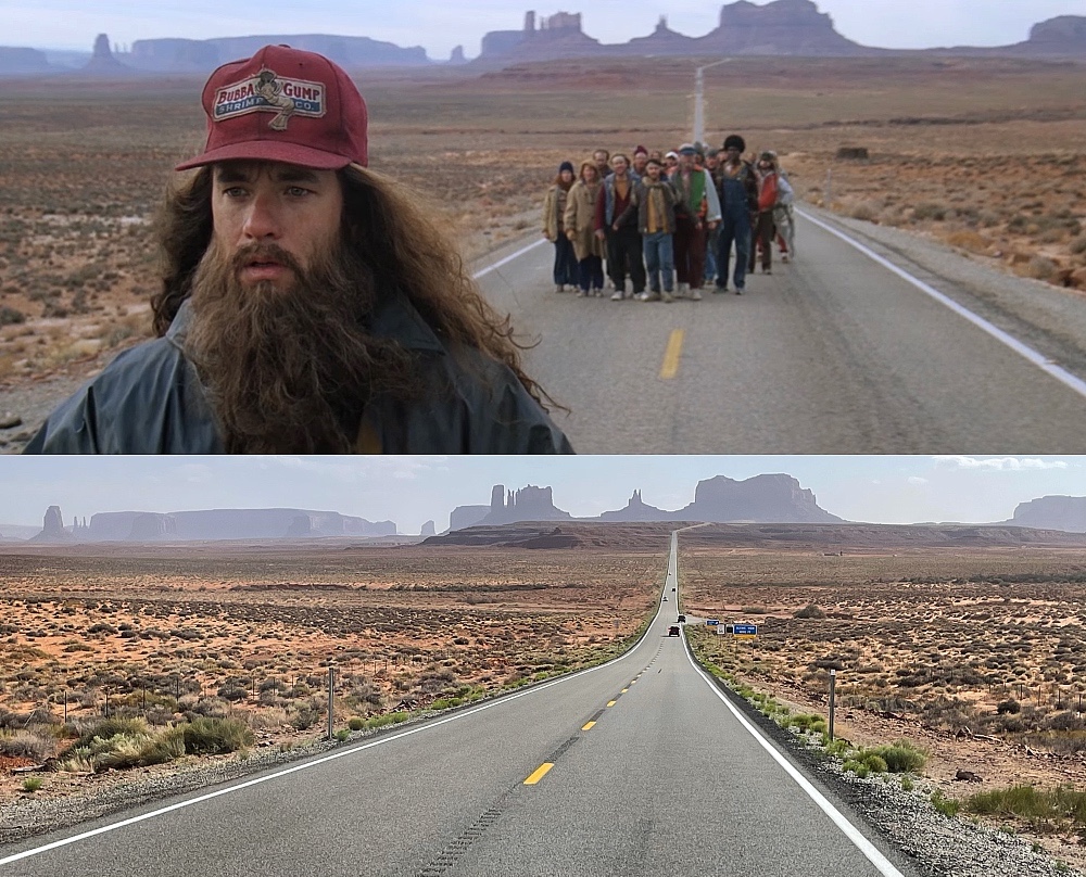
Road‑trippers swear it’s the most instantly recognizable stretch of asphalt on Earth: a ruler‑straight ribbon of U.S. 163 pointing at Monument Valley’s sandstone buttes.
Forrest Gump Point is more than a selfie stop—it’s a film landmark, and a Navajo‑Nation viewpoint. Below you’ll find everything you need to nail the shot, stay respectful, and use the monument valley map.
Expect mile‑by‑mile driving intel, seasonal weather numbers, and gear tips built for those dreamy forrest gump point photos.
The iconic pull‑off sits at mile‑marker 13 on U.S. Route 163, roughly 7 miles north of the Arizona border and 6 miles south‑west of tiny Mexican Hat, Utah. so plug “Forrest Gump Hill” into Google Maps, This stretch of highway belongs to the Navajo Nation and rises to about 4,800 feet, so get ready for thin, crisp air.
Also, there’s no formal parking lot, just two wide gravel shoulders, so pull fully off the pavement before unpacking tripods. (not recommended for take photos in the middle of the road)
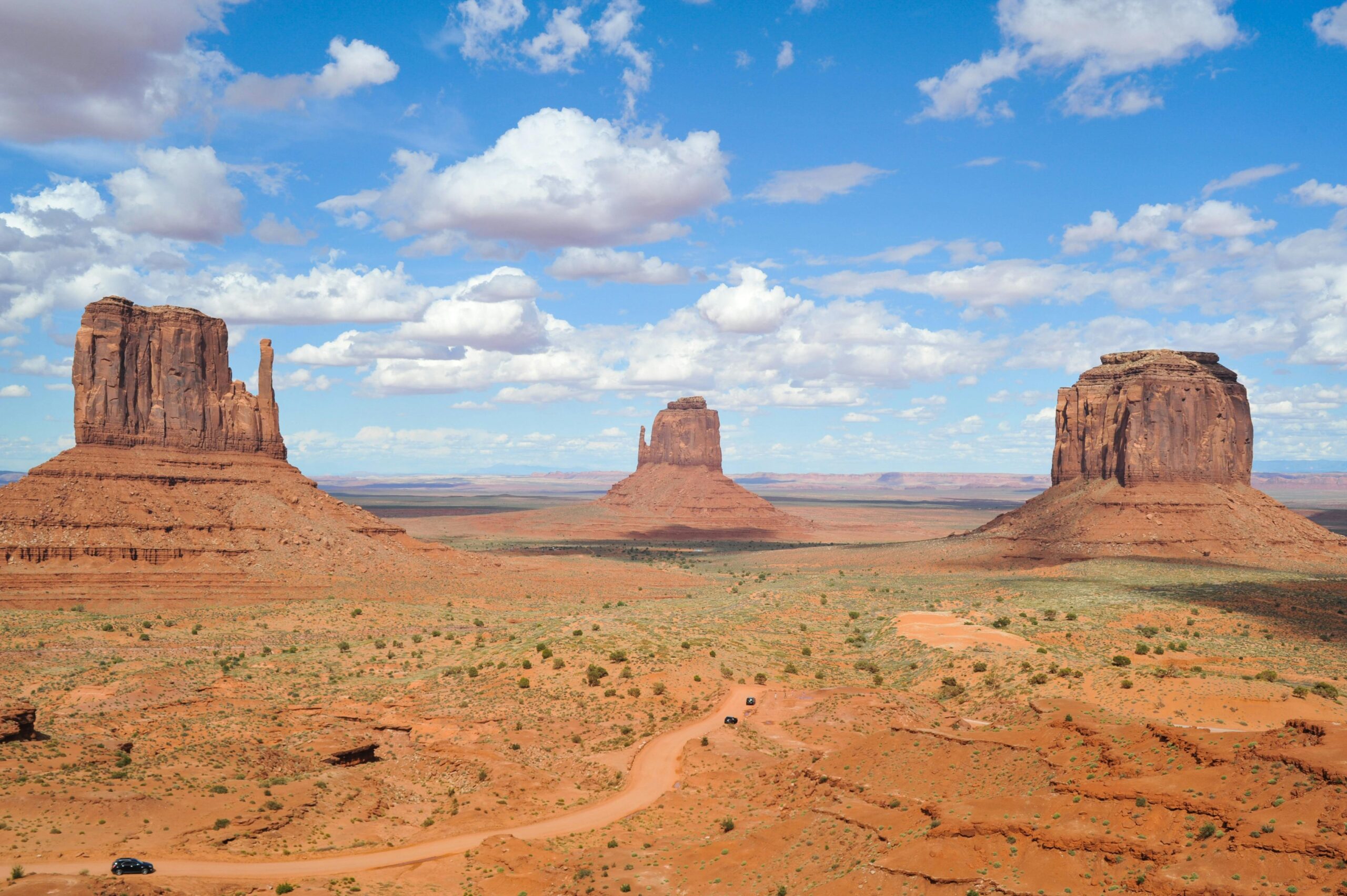
In Robert Zemeckis’s 1994 classic, Forrest ends his three‑year run, turns to his followers, and says he’s tired right here. The director framed Monument Valley’s West and East Mitten Buttes plus Merrick Butte dead‑center, locking the vista into pop‑culture memory.
Today the road features in car commercials, Instagram reels, and even a 2024 TikTok challenge where creators sprint the centerline in slow‑motion. Bring a camera, you can also take cinematic forrest gump point photos.
Expect no services right at the viewpoint.
Fuel, snacks, and restrooms cluster in Mexican Hat (gas station + café) and at Goulding’s Lodge 15 miles south.
The viewpoint monument valley forrest gump sits outside the fee gate, but you’ll kick yourself if you skip the park. Entrance costs $8 per person (National Parks Pass not accepted). A printed map of Monument Valley comes with your ticket—keep it handy for the self‑drive loop.
The 14‑mile dirt Valley Drive winds past John Ford Point, Totem Pole, and Elephant Butte; high‑clearance vehicles recommended though cars can manage when dry. Allow 2–3 hours with photo stops. GPS often fails in the buttes, so analog navigation matters; the monument valley map marks pull‑outs and artisan stalls.
Pack layers: the desert swings 30 °F between day and night. (Check weather before you go)
Elevation: ~4,800 ft at the crest; runners definitely feel it.
Whose land? Forrest Gump Point Utah is on Navajo territory.
Restrooms? None on site. Use facilities at the tribal visitor center or Mexican Hat gas station.
Cell service: Sporadic AT&T bars, near‑zero for others—download maps offline first.
April 26, 2025
Fill out the form below to get our proposal.