Key takeaways
- Pick Royal Arch for skyline views and strong compositions; take the Loop or Bluebell Hill for easy family outings.
- Arrive early on busy days or use Boulder’s shuttle/RTD connections to avoid the main lot filling; check transit pages before you leave.
- There is no formal recreational lake at Chautauqua — the reference is to the meadow and small ornamental water near the visitor area.
- For photos: sunrise on the meadow and base paths; short climbs onto lower ledges for warm sunset backlight. Bring layers and a headlamp if you return after dusk.
Quick safety checklist
- Check current conditions: NOAA forecast.
- Carry a map and offline GPS; tell someone your plan before you go.
- Bring water, sun protection and layered clothing for fast afternoon storms.
Main guide: trails, parking, photos
Start at the Chautauqua trailhead and choose by time, fitness, and photo goals. The City of Boulder Open Space pages list trail names, trailhead locations and official maps — use them for route confirmation and current access notes (Chautauqua park info).
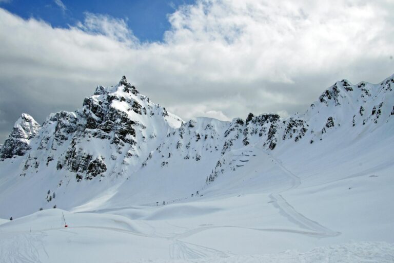
Royal Arch — steep, classic view
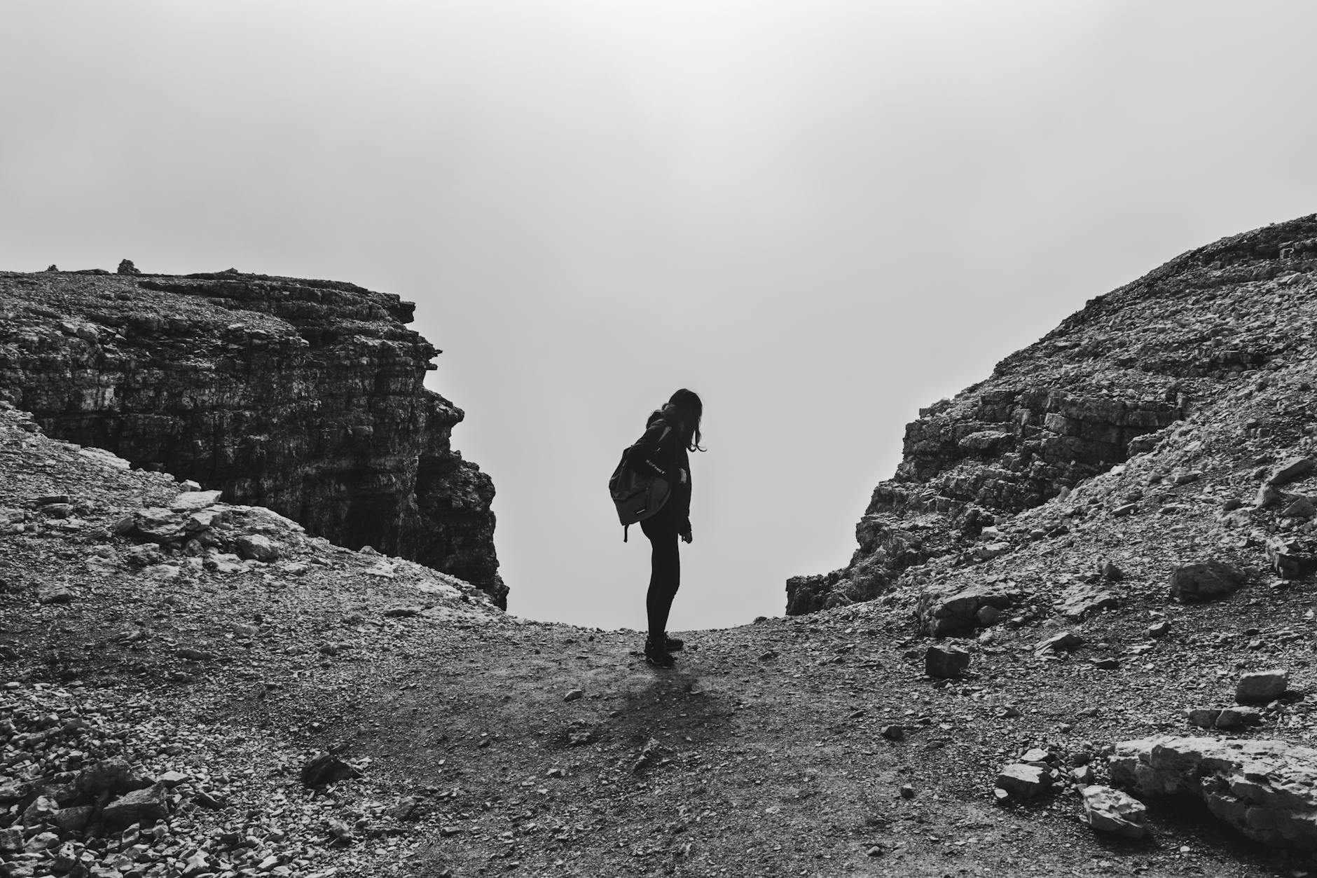
Why choose it: Royal Arch gives the iconic rock framing and elevated city/Flatirons views. Expect a steady, rocky climb with exposed steps and short ledges. This route suits fit hikers and photographers who plan for moderate scrambling and slower pace while shooting.
- Tip: wear shoes with good traction; use microspikes in icy conditions.
- Tip: plan extra time for photos and slow descents; bring a small headlamp if returning near dusk.
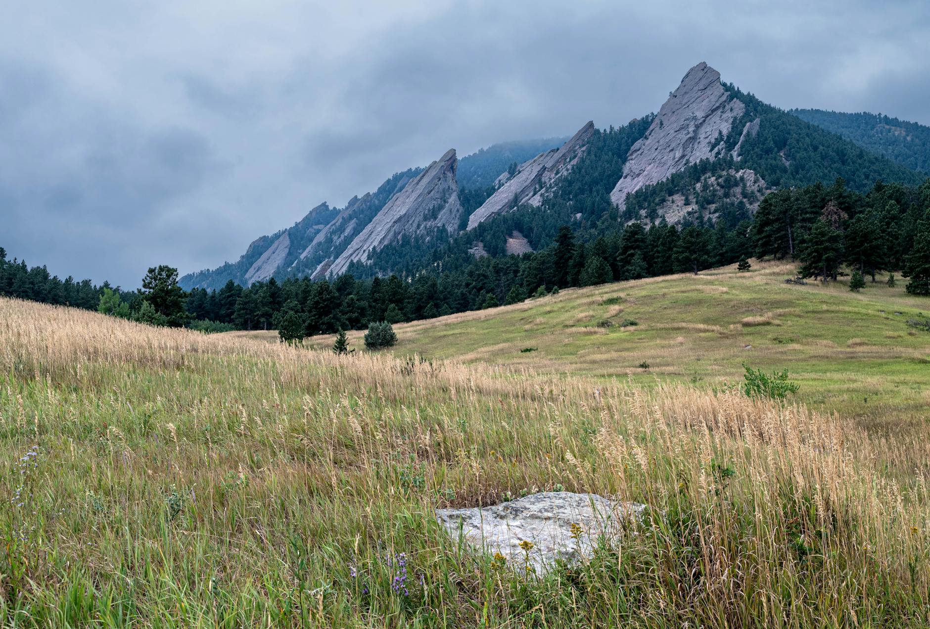
Chautauqua Loop & Bluebell Hill — easy and family-friendly
Why choose them: these routes circle the meadow and rise gently to viewpoints. They work for kids, older visitors, and people who want short outings with photo opportunities on the lawn and meadow edge.
- Tip: strollers can handle paved sections around the visitor area when the ground is dry; steeper, rocky segments are not stroller friendly.
- Tip: keep dogs on leash and bring waste bags; follow Boulder Open Space rules (Chautauqua park info).
Connecting routes and variations
Combine the Loop with Royal Arch for a longer outing, or turn the trip into a flatter walk by incorporating sections of the Boulder Creek Path farther east. Always consult the official maps for trail junction names and open/closed segments (Open Space maps).
Parking, shuttle, and crowd tactics
Where to park: the main Chautauqua lot sits by the auditorium; smaller pullouts line Baseline Road. On busy summer weekends and event days the main lot fills quickly. If the lot is full, park legally on nearby streets or use transit options linked below.
Transit and shuttle: Boulder operates a local shuttle and RTD runs regional routes that serve downtown nodes near the park; check schedules and stop locations before you leave to plan transfers (Boulder shuttle, RTD).
- Arrival tactic: on busy days, aim to arrive before the lot peaks for the best chance to park near the trailhead; use the shuttle if you prefer a guaranteed seat into the area.
- Event days: check the city events calendar and Chautauqua auditorium schedule to avoid large performance crowds.
Best photo spots and light
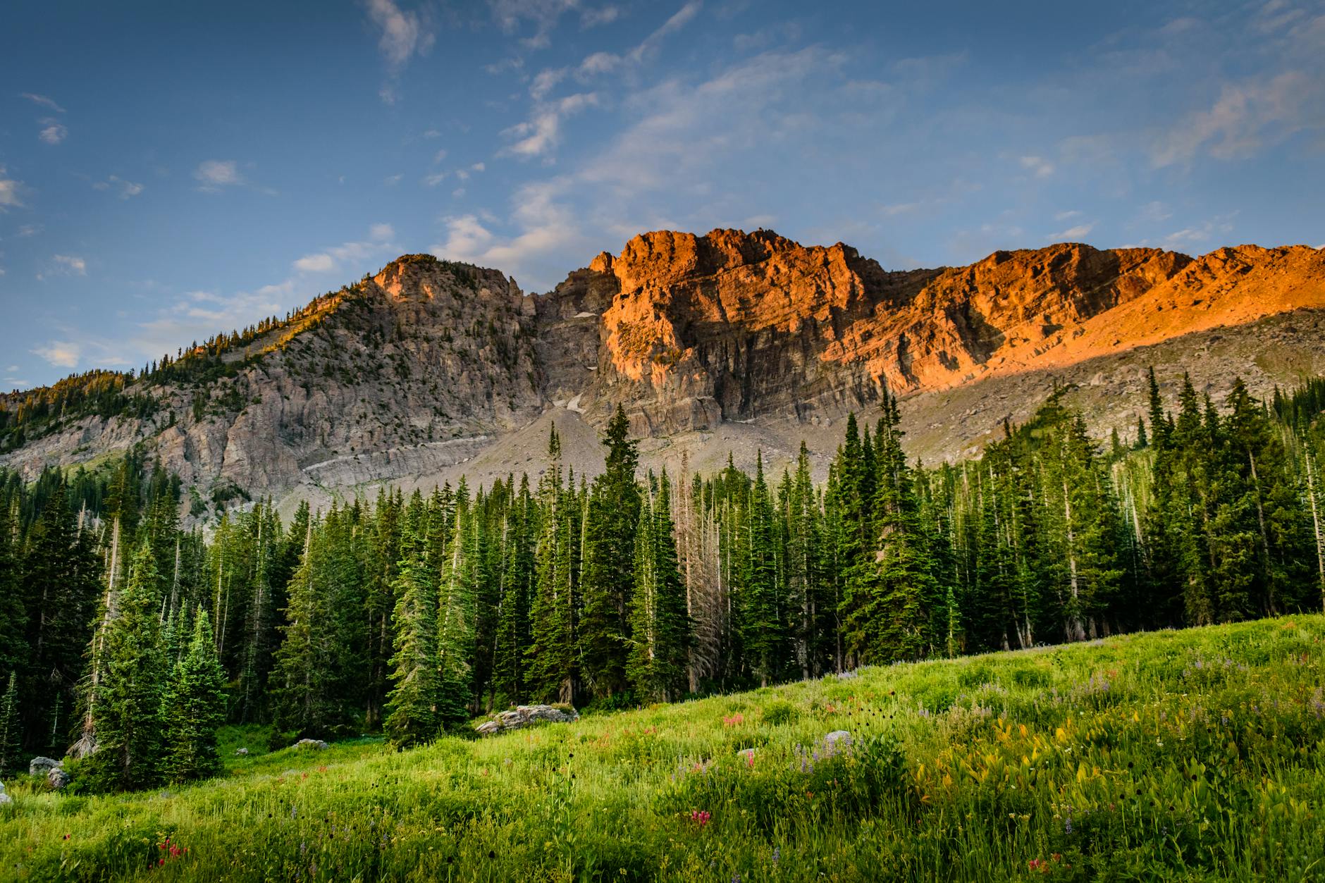
Sunrise: the east-facing meadow and base paths give soft, directional light. Work the meadow foreground with a wide lens for depth.
Midday: use a circular polarizer to deepen skies and increase rock contrast when the sun is high.
Sunset: short climbs onto lower ledges give warm backlight and silhouette opportunities. On steep return routes, use a headlamp and watch footing.
Camera settings (starting point)
- Landscape: ISO 100–200, f/8–f/11 for depth of field; bracket exposures in high-contrast scenes.
- Action/handheld: raise ISO and open aperture to keep shutter speed fast enough for sharp handheld shots.
For gear basics, see the packing list link and advice on protecting camera gear on trails (quick packing checklist, camera gear).
What is different vs other guides
| Decision | Our take | When to choose |
|---|---|---|
| Route | Clear, single-route pros/cons | Quick visits vs full hikes |
| Parking | Practical shuttle and street-parking tactics | Event days and summer weekends |
| Photos | Exact light spots and camera starting settings | Sunrise/sunset shoots |
| Lake question | Definitive clarification: no recreational lake on-site | Visitors who saw conflicting references |
FAQ
- Is there a lake at Chautauqua? No. There is no formal recreational lake at Chautauqua. Mentions of a “Chautauqua lake” typically mean the meadow, small ornamental water near the visitor area, or informal wording on older guides.
- Which trail should I choose for photos? Royal Arch for dramatic skyline and rock framing; the Loop and Bluebell Hill for meadow and foreground compositions. If you want iconic Flatiron silhouettes at sunrise, start with the meadow and work a short climb.
- How early should I arrive to park? Arrive early on event days and busy summer weekends. If you prefer certainty, park in nearby downtown and use the Boulder shuttle or RTD connections (see Boulder shuttle).
- Are dogs allowed and are trails stroller friendly? Dogs are allowed but must be leashed and owners must clean up waste; follow city Open Space rules. Paved sections near the visitor area can handle strollers in dry conditions; steeper, rocky trails are not stroller friendly.
Sources
- City of Boulder — Chautauqua Park (official trailhead, rules and maps).
- City of Boulder — Boulder shuttle (local shuttle service and stop info).
- RTD — Regional transit (regional bus and rail connections into Boulder).
- NOAA (weather forecasts and hazard notices).