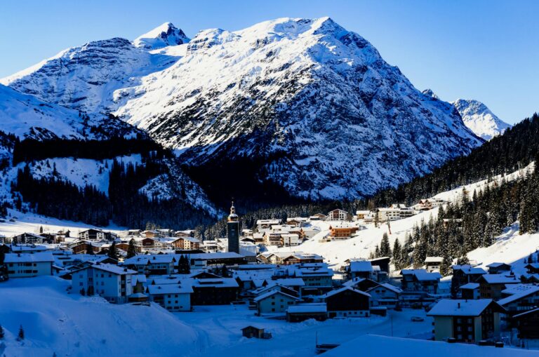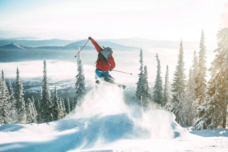
My plan was simple. Hike the Aspen Mountain trail to the summit of Ajax, then ride the Silver Queen Gondola back down. I wanted steady climbing, big views of the Elk Mountains, and an easy exit that saved my knees.
Aspen delivered. In this guide I share the line I took, what to pack, and how to mix in gondola time and extra trails. If you are searching for an Aspen trail that balances effort with reward, this route is a strong pick that fits a summer weekend or a short trip.
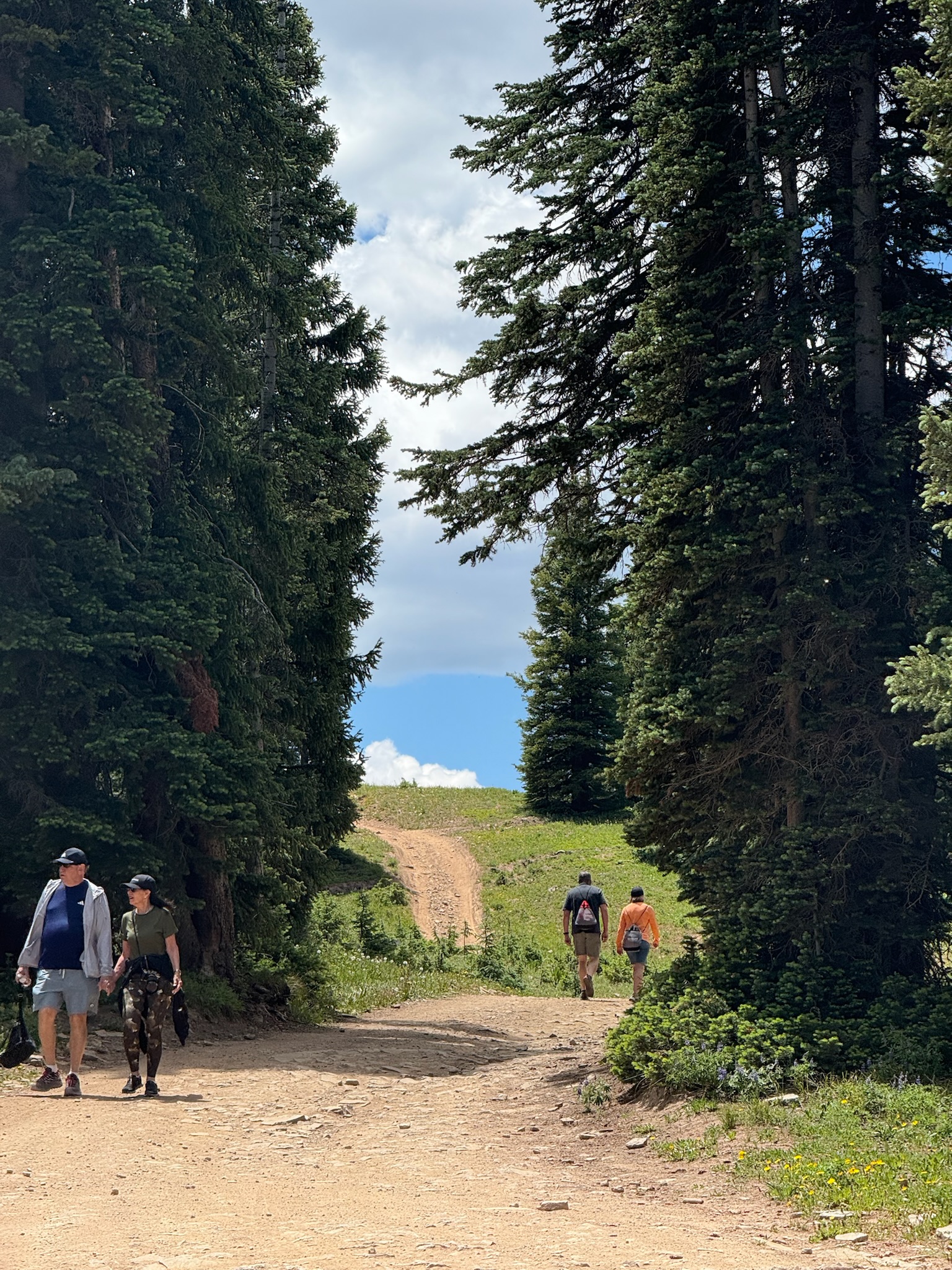
I started early from town to get cool shade and avoid afternoon storms. The lower switchbacks warmed up fast as the sun cleared the ridge. The tread was firm and gritty with small stones. Each step asked for steady breathing. The grade does not let up.
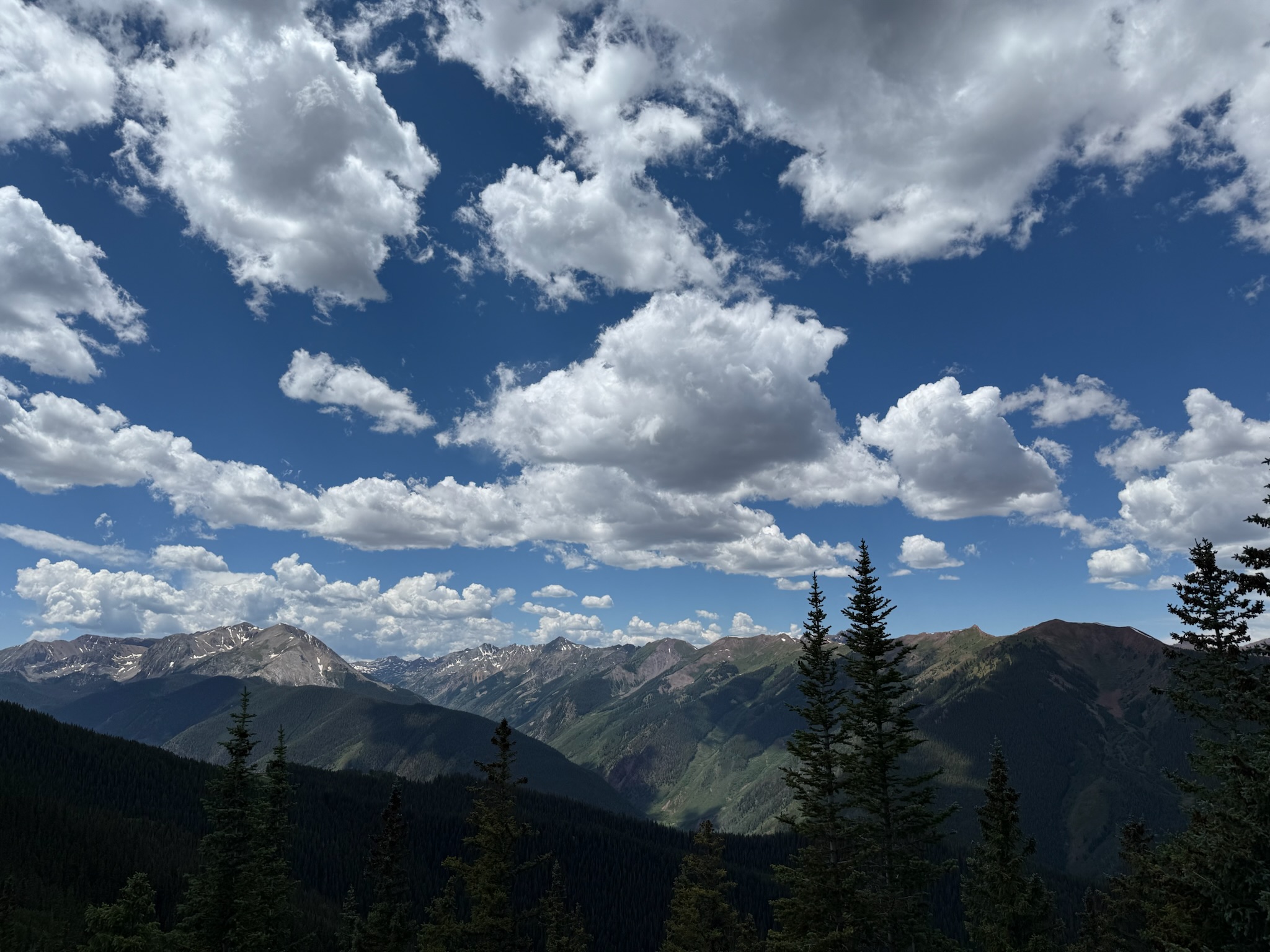
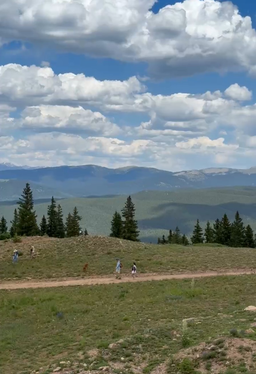
Views came quickly. Pines framed the Roaring Fork Valley. Higher up, the terrain opened into bright meadows dotted with summer wildflowers.
I paused at a shoulder near the ski runs to drink water and tighten my pack straps. It felt good to keep a compact rhythm. Trekking poles helped save my legs on the steeper pitches.
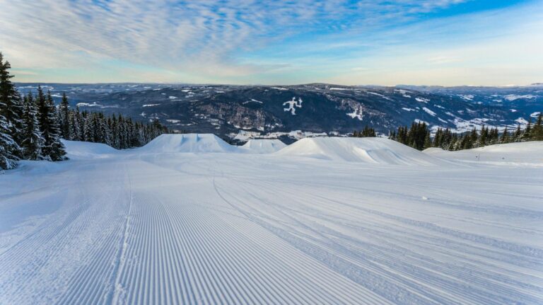
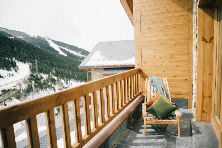
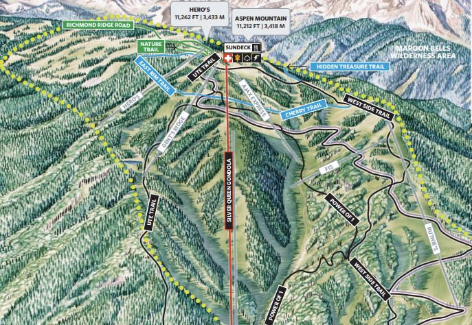
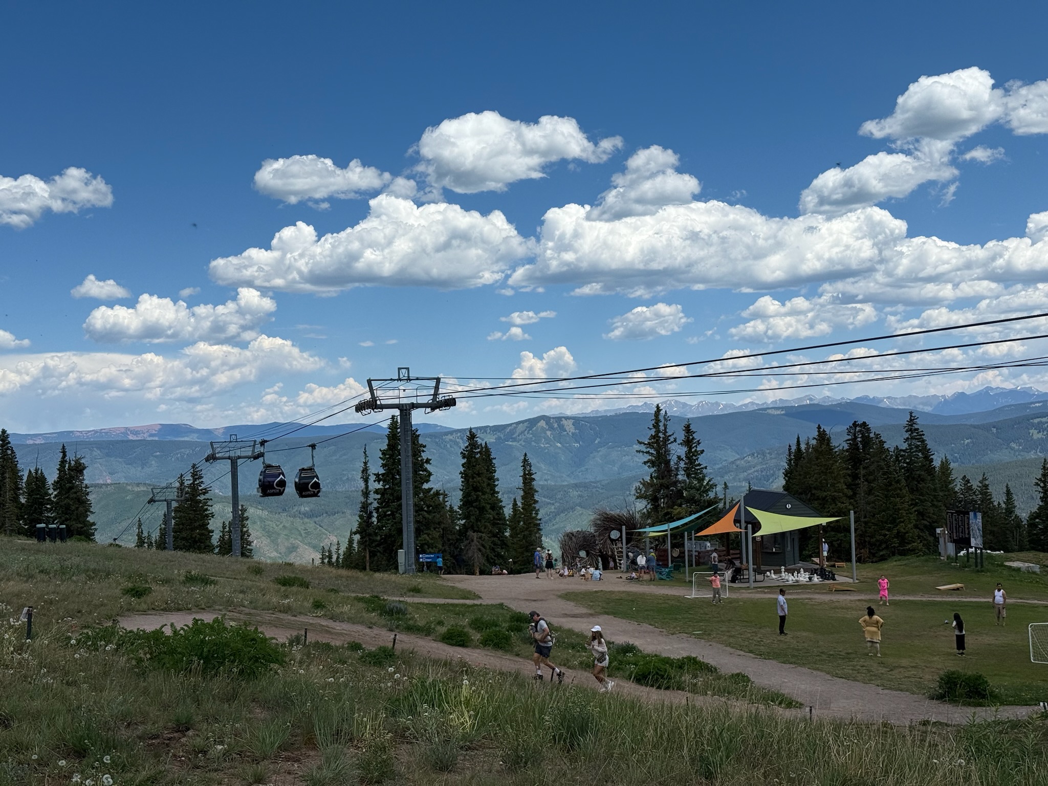
Approaching the top, the trail crossed service roads used in winter. The skyline stretched in every direction. Ridges stacked to the horizon. The Elk Mountains showed bands of red and green. Reaching the summit felt clean and straightforward. I grabbed a snack, walked over to the Sundeck area, and took a short break on the patio.
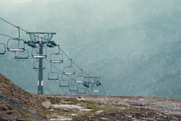
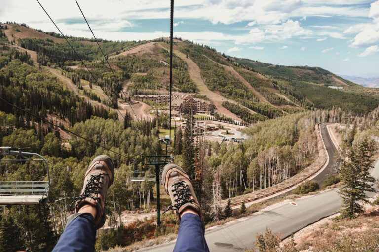
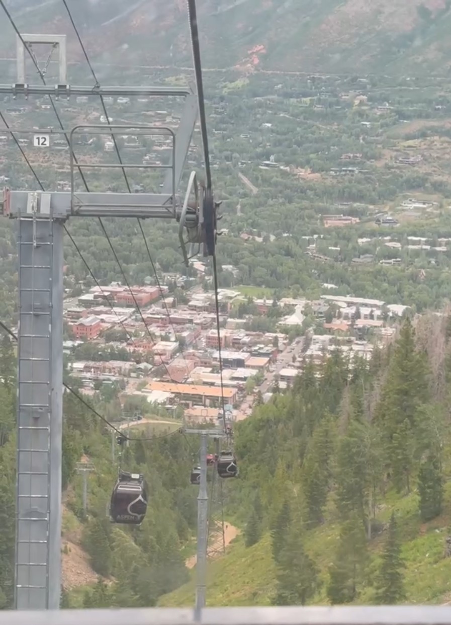
The ride down on the Silver Queen Gondola was a smooth finish. Cabins swung out over the green ski slopes and tall trees. The valley floor spread out beneath my feet. I was glad I had chosen to descend by lift. It preserved energy for the rest of the day and spared my knees from a pounding.
Getting there: Start near the Ute Trailhead off Ute Avenue or follow signed uphill routes from town. Parking is limited in central Aspen. Plan to walk or use local transit.
Water and restrooms: Services are available at the top at the Sundeck during operating hours. Carry your own water for the ascent. Treat any natural sources.
Dogs and rules: Follow posted leash rules in town and on forest lands.
Ute Trail to Ute Rock Overlook. Short, steep, and close to town. Big payoff above Aspen.
Smuggler Mountain Road. A steady dirt road climb with a classic platform view. Good for families.
Hunter Creek Loop. Rolling singletrack, aspen groves, and creek views in a neat loop near town.
Some hikers start on the steep Ute Trail, then continue uphill toward Aspen Mountain. Routes connect, but names vary by segment. Check a current trail map.
Yes, one-way download tickets are offered in summer. Confirm hours and prices before you go.
Strong hikers often reach the top in 2 to 3 hours. Plan more time if you are adjusting to altitude.
June through September is the usual season, but snow and lift schedules vary. Always check conditions first.
Water, snacks, sun protection, a light rain jacket, and trekking poles. Add warm layers for the summit.
February 18, 2026
Fill out the form below to get our proposal.