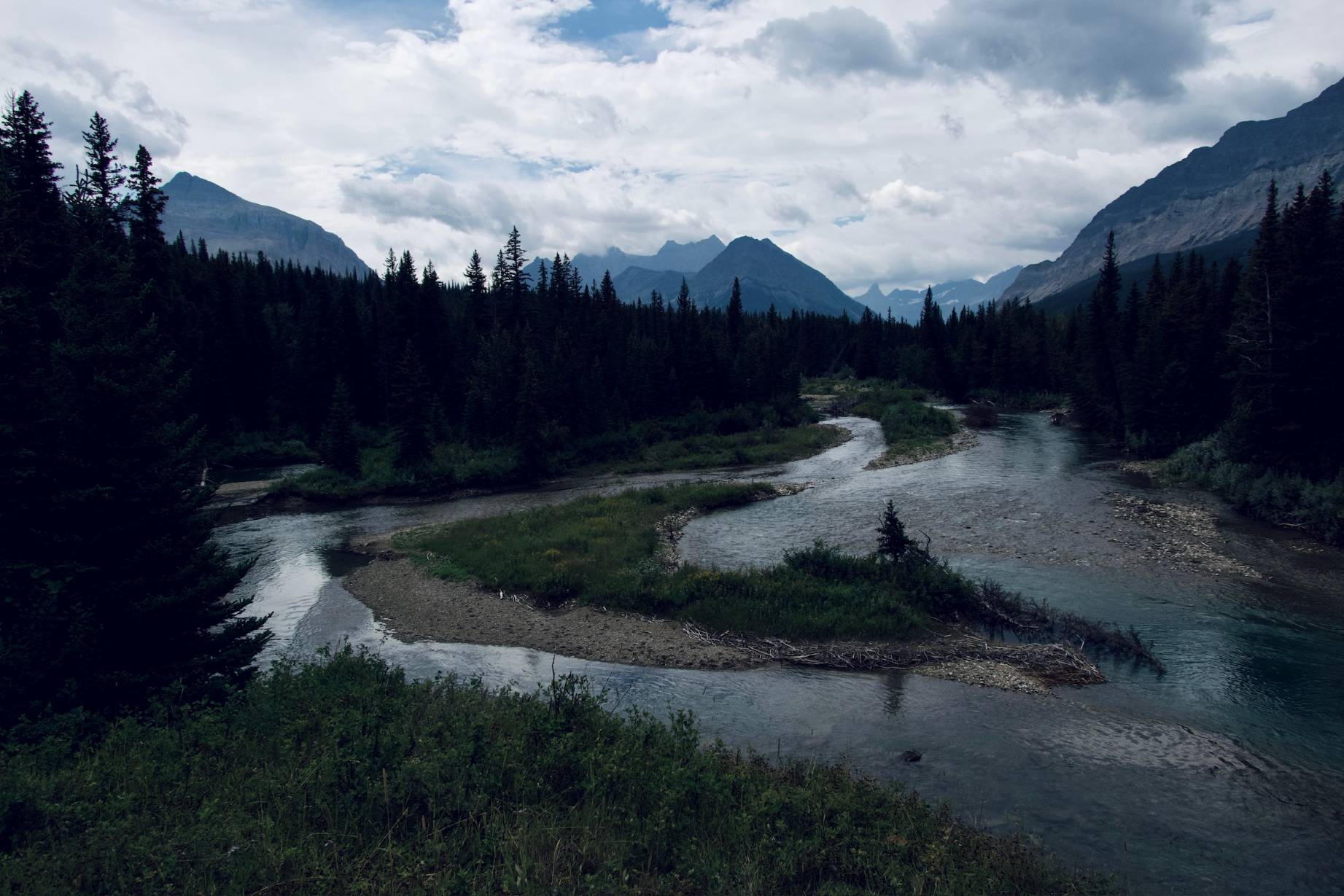
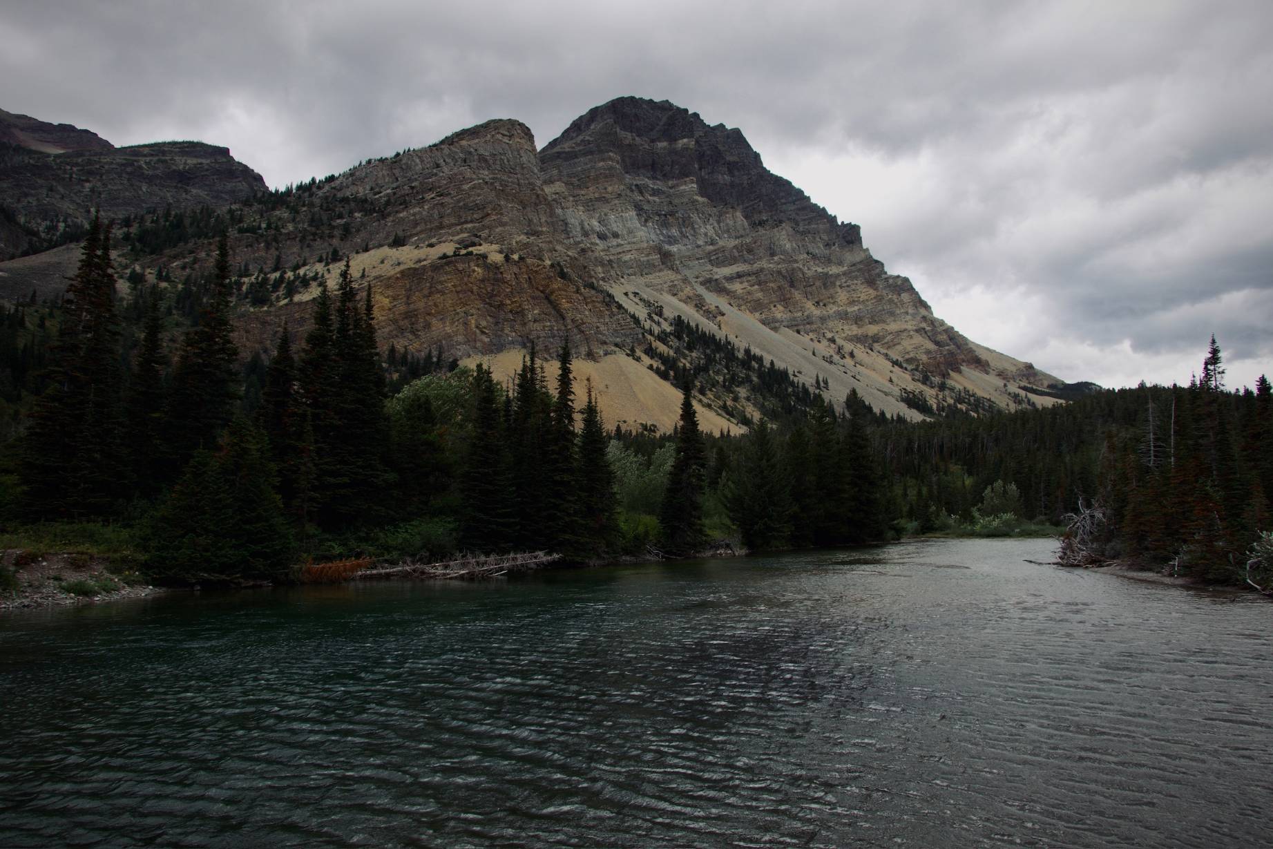
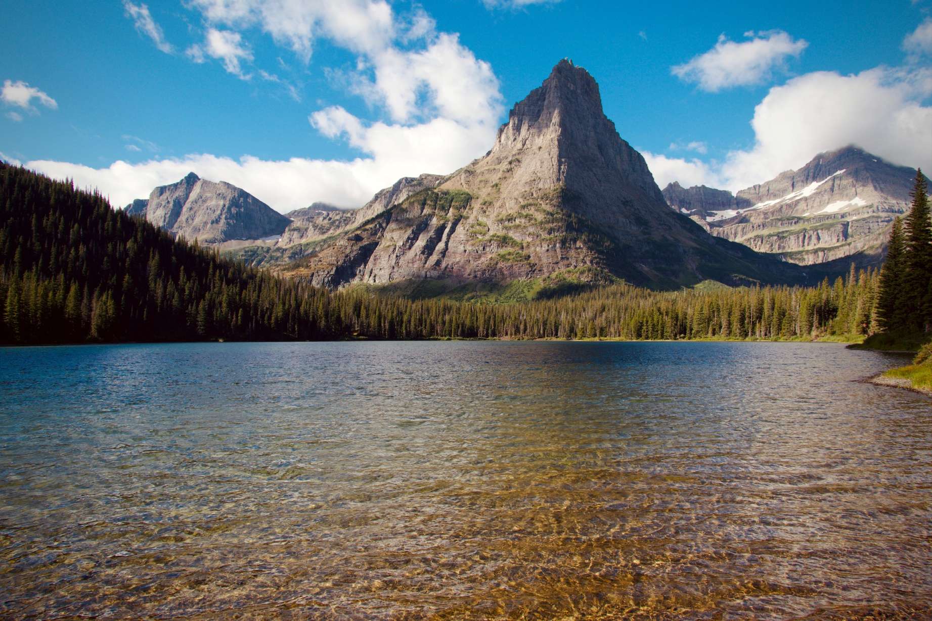


Glacier’s trails provide visitors with panoramic ice views and wildflower meadows and encounters with grizzly bears. People view glacier national park photos to imagine the combination of blue tarns and mountain ridges.
The park received 3 million visitors during the previous year which made it the sixth most visited national park in America. This guide selects five trails to represent Glacier’s complete experience by featuring ice-polished passes and turquoise tarns and beargrass fields and hooting pikas.
The guide includes trail distances along with camping information and bear-spray guidelines and interesting stories for family discussions. The Continental Divide awaits you so prepare yourself.
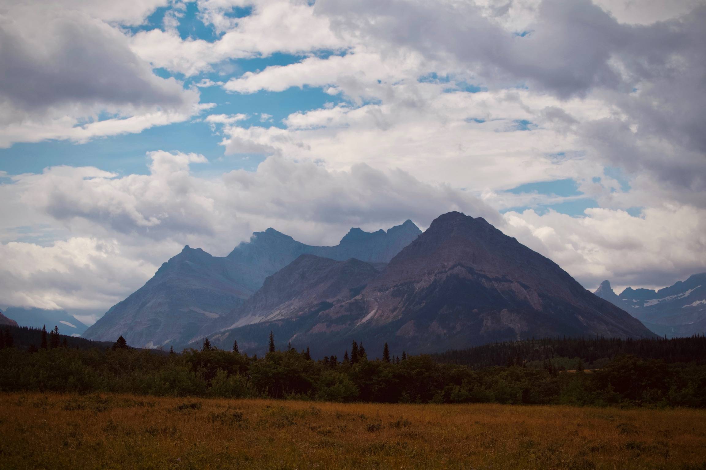
Mt Merritt Photo
July through mid-September offers the most secure snow-free passes and comfortable 45–80 °F days, late June and early October greet tourists to thinner crowds, a golden larch show, and a relaxed atmosphere.
But in May through July, the busy season—when a few million tourists arrive every summer season, parking at popular sites like Logan Pass and Avalanche Creek is occupied by dawn and remains congested much of the day, so don’t count on arriving easily.
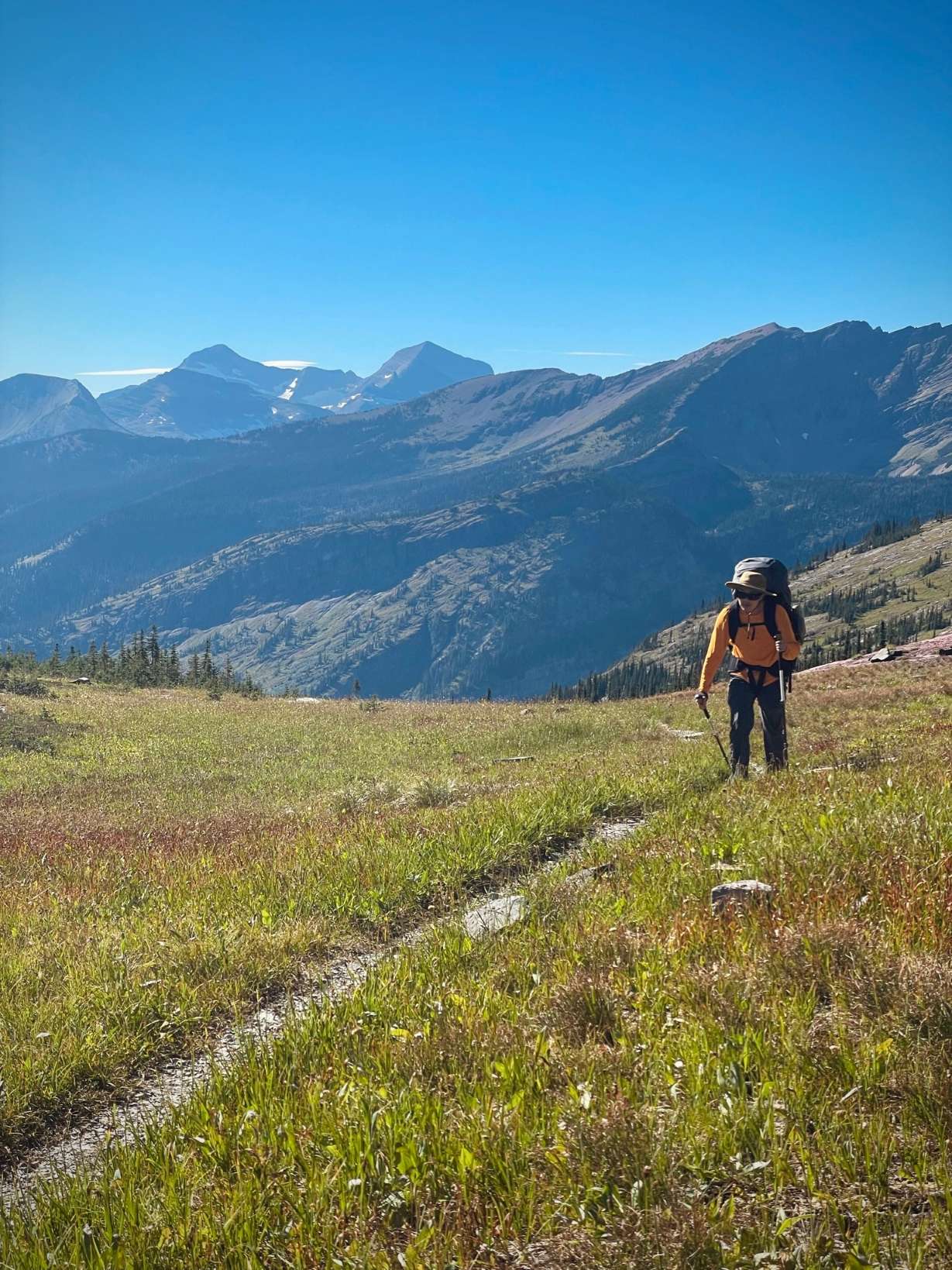
Backpacker Crossing Logan Pass
Trail Detail 5.1 mi out-and-back; 1 338 ft gain; start Logan Pass. (More Detail)
Boardwalk climbs through heather and mountain-goat turf to Hidden Lake Overlook, then drops 780 ft to the shoreline. Keep 300 yd from wildlife, trails may close for bear activity.
Photo Spots Frame Bearhat Mountain mirrored in the lake at dawn. Crowds peak at 10 a.m.—arrive early
Camps & Permits No camping at the lake, but Sprague Creek front-country CG holds first-come sites 35 min west. Backcountry travelers connect to the Highline. Reserve wilderness permits online 24 hrs to 7 days in advance.
Why it makes the cut In two hours you bag Continental Divide views, glacier sightings, and goat encounters on a beginner-friendly path.
Hidden Lake Morning View
Trail Detail 19 mi one-way from Chief Mountain Customs TH to foot of Elizabeth Lake; 1 600 ft cumulative climb. (More Detail)
You’ll contour meadows thick with huckleberry before the roar of 75-ft Dawn Mist Falls cools the air.
Camps & Rules
Two backcountry sites—Elizabeth Lake Foot and Elizabeth Lake Head—book fast; each holds four tent pads and food lockers.
Why it makes the cut Waterfall drama, moose habitat, and the tunnel’s “surprise view” craft an unbeatable first multi-night for strong intermediates.
Belly River Trail
Elizabeth Lake Close View
Trail Detail 24 mi from Belly River Ranger Station; 3 600 ft gain; steep switchbacks guard the headwall.
Camp at Stoney Indian Lake (three sites, fires banned) and wake to moose silhouettes in mist.
Photography Tip Climb the talus 200 ft above camp for sunrise light on Pyramid Peak—no drone needed.
Why it makes the cut Alpine tarn + airy pass yield Glacier’s trademark “peaks on fire” dawn and link seamlessly into longer circuits.
Stoney Indian Lake Close View
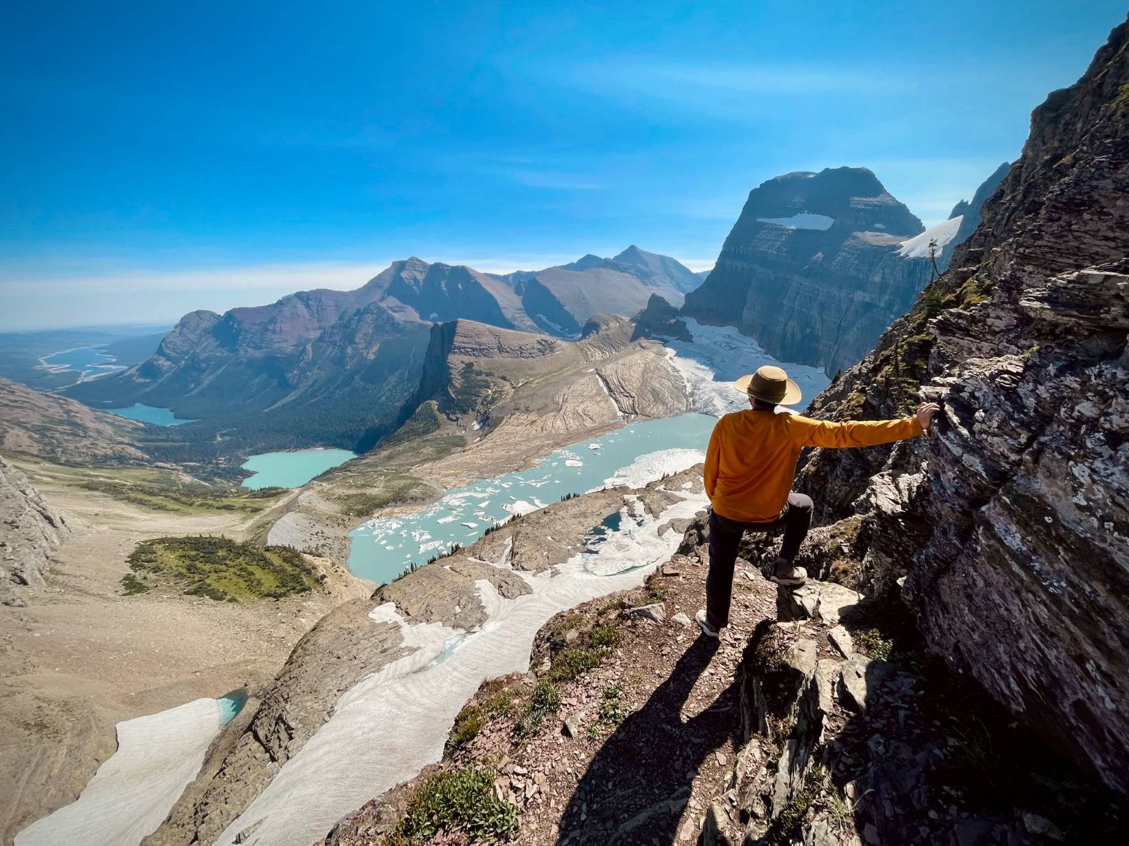
Trail Detail 11.6 mi point-to-point, Logan Pass (6 646 ft) to The Loop; net climb 684 ft, then 3 070 ft knee-friendly descent; high point 7 330 ft just past Haystack Pass. (More Detail)
Step off the boardwalk opposite the Logan Pass Visitor Center and join the Continental Divide’s airy shoulder. At 0.3 mi the trail tapers to a 6–8 ft ledge bolted with a hand-cable—thrilling but secure. Reach Haystack Pass at 3.6 mi (7 024 ft) for a lunch-worthy 360°.
Why it makes the cut One ridgeline strings together cliff cables, goat sightings, glacier overlooks, and a storied chalet, earning the Highline a perennial spot on “best of Glacier” lists.
Garden Wall
Glacier National Park Image by bea73 from Pixabay
Trail Detail 6.5 miles (one way) to Dawson Pass 17.4 miles (loop) to Pitamakan Pass; 2 ,968 ft total gain; highest point 8 ,138 ft on Pitamakan Pass. (More Detail)
Climb forest switchbacks to Dawson Pass (7 ,598 ft) for a first glimpse of turquoise Oldman Lake 2,000 ft below. A narrow skyline traverse links Dawson to Pitamakan Pass; mountain goats often linger where the ridge pinches. Drop past emerald No Name Lake, then amble the valley floor beside Two Medicine Lake back to the trailhead.
Backcountry sites at No Name (NON) and Oldman (OLD) Lake each hold three to four tent pads with food lockers; fires are banned. Reserve standard-group lottery online or grab a walk-up permit 24 h before hiking
Why it makes the cut One loop, two airy passes, three glacier-fed lakes, and a goat-height sidewalk deliver Glacier’s drama in a single strenuous overnight—no shuttles required.
Two Bighorn Sheep Fighting
Dawson Pass Loop
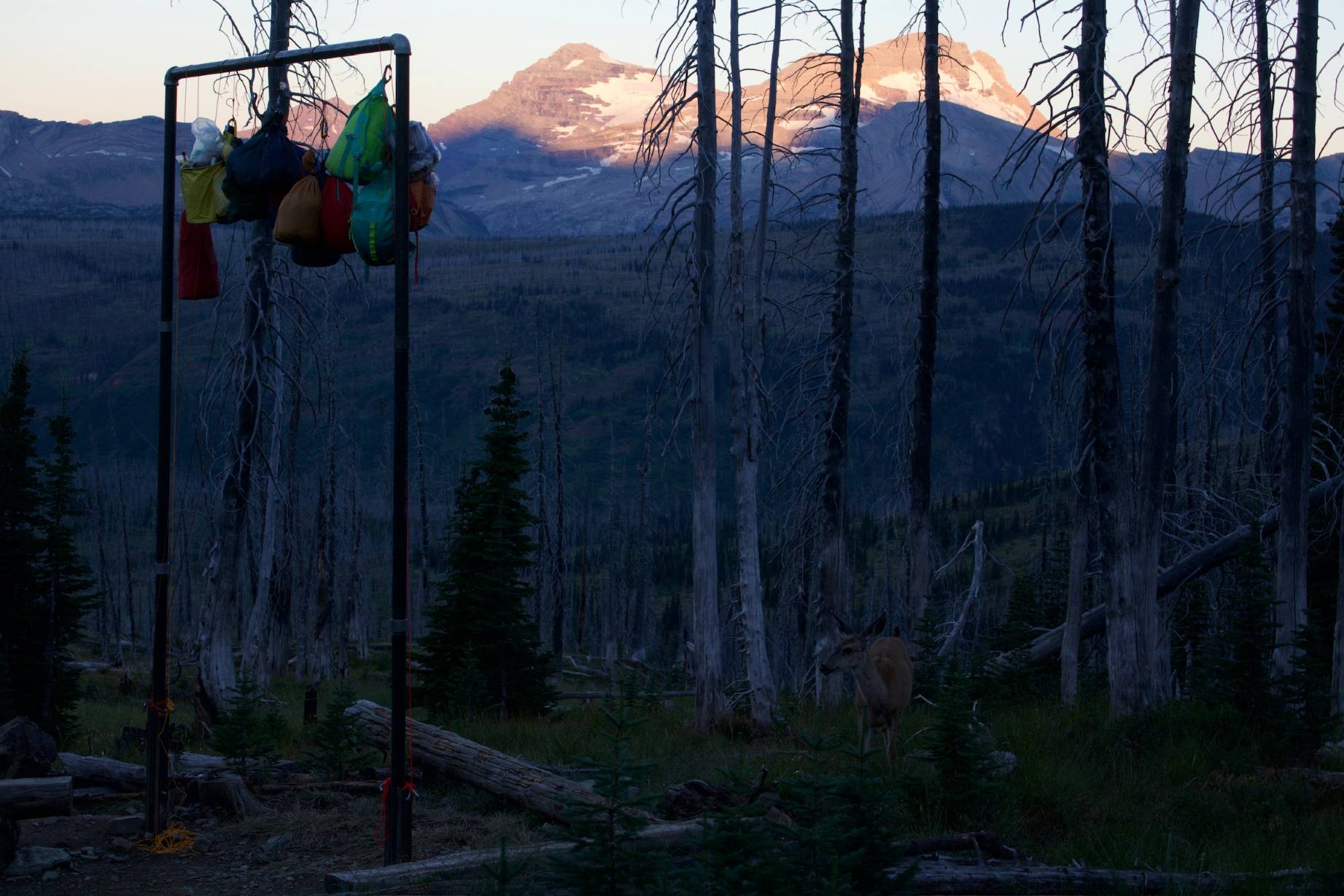
Fifty Mountain Camp
February 18, 2026
Fill out the form below to get our proposal.